I would like to suggest some additional functionality to the Spatial Map Series: create spatial map series by current symbology or by field.
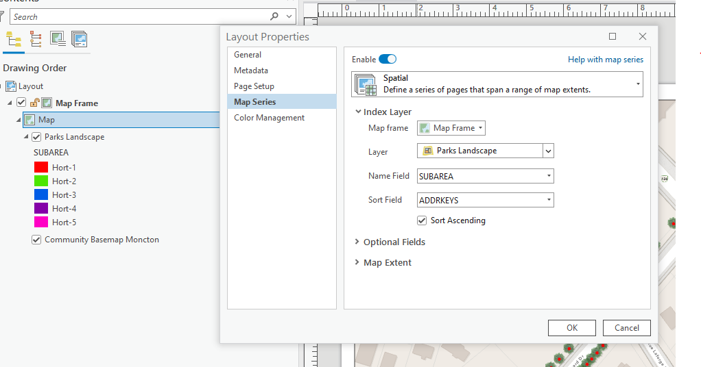
Context from my screenshots, I want to export a series of maps of a landscape layer by SUBAREA. each map should show all landscape features within that subarea. right now my work around is to dissolve the layer by attribute and use that as my spatial extent. While this is not a huge pain, it does create extra steps that I think could be solved by having the option to choose the field to base the extents on. Maybe under layer there could be:
- create index by symbology
- create index by attribute
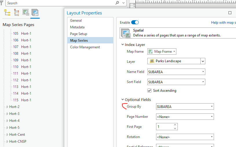
When I saw the "group by" option I got excited thinking I had solved my own problem, but that simply groups the layouts.
This is a fairly common workflow for me so saving a few steps can make a big difference!
thanks,


