Last year I published a hosted feature layer with 8 geometrical layers. This feature layer is being used to collect data from the field through dedicated webmaps.
Lately, there has been a need to add an extra table to the existing feature layer to accommodate changes in our project's requirements.
Researching online I found that there is no easy solution, unfortunately. It would have been useful to have a dedicated design tool to add layers/tables to existing feature layers.
The only thing I found is to Add to Definition through the REST Service Directory.
I then performed some tests. I aimed to get the JSON section of the table I want to add by publishing two versions of the same feature layer from ArcGIS Pro: One with the table (first feature layer), and one without the table (second feature layer). I then extracted the JSON definition from both sources and compared them on Notepad++. The differences started indeed at the end of the second feature layer as we can see by this snippet:
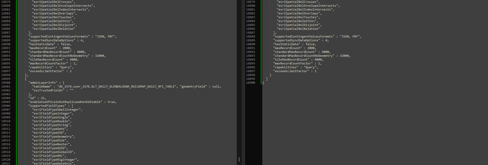
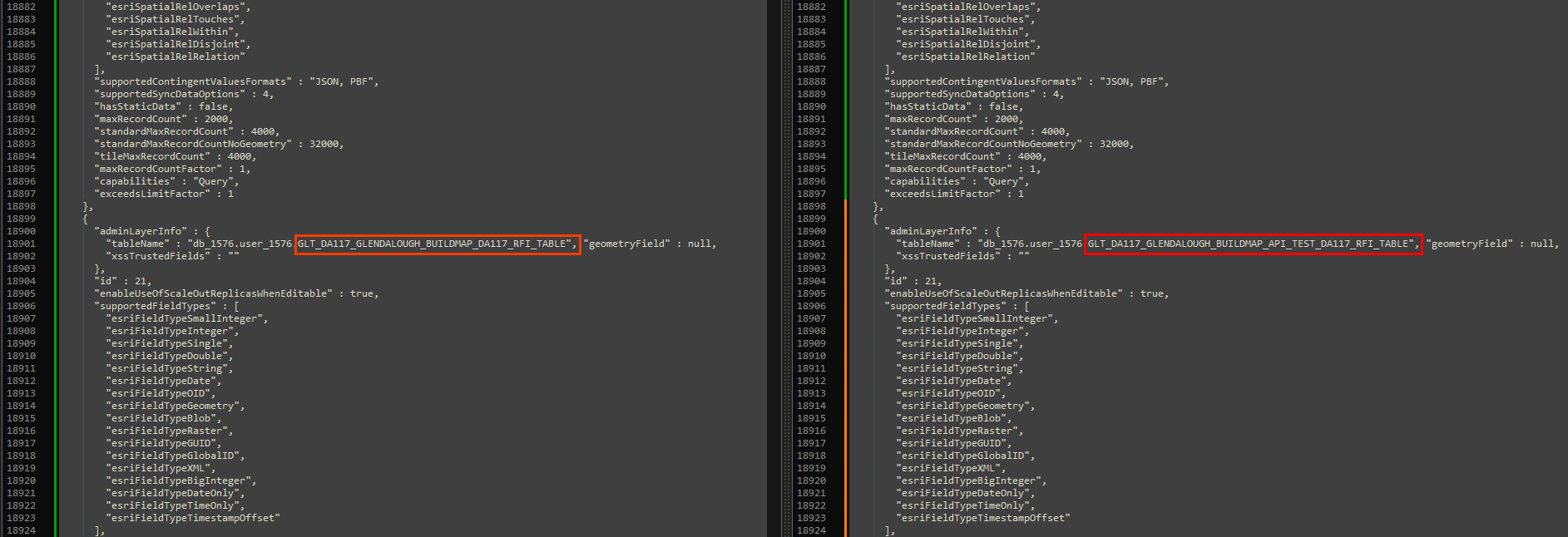
What I did then was to append the "Table" section of the JSON definition to the second one by ensuring that it was perfectly matching the first JSON. I only had to change the "tablename" argument to match with the second feature layer's name as follows:
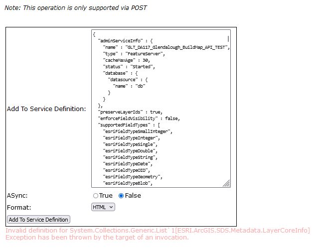
I then went back to the REST Services Directory of the second feature layer and tried to use the "Add to Definition". What I replaced to the JSON definition was basically the exact definition of the first feature layer, so I was expecting for it to work, but unfortunately it did not and this error message was pulled:
Invalid definition for System.Collections.Generic.List`1[ESRI.ArcGIS.SDS.Metadata.LayerCoreInfo]
Exception has been thrown by the target of an invocation.
This functionatily is very important in the frame of content management to maintain data tidied and the only alternative I have is to create a new hosted feature layer just for the extra table I need.
Any help, tip or hope for a future improvement in this functionality would be appreciated.

