Hello. I'm currently learnng GIS for a conservation project at a small suburban forest. Thank you in advaced for readin my question and for your imput 🙂
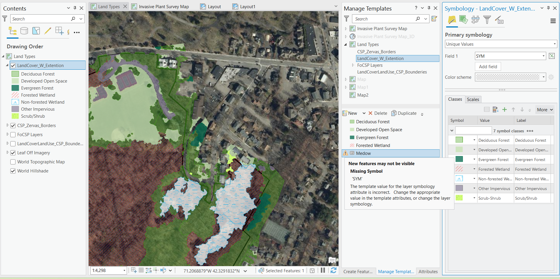
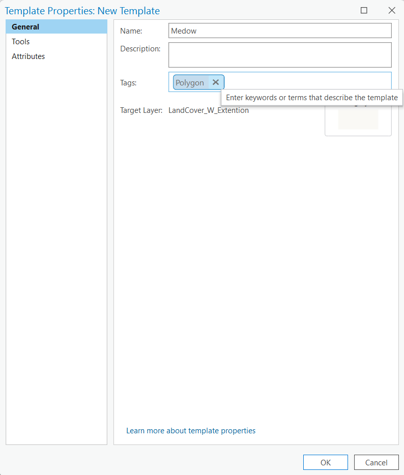
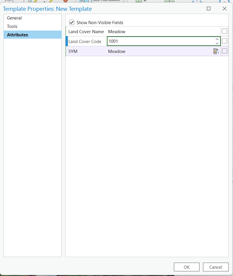
Anyways, I'm making a map that shows the different land types. To start, I imported a layer from the state (MA) that shows land use types. I deleted types that were not relavant (eg. comercial), and only kept the data in the near the vascinity of the park. Now I need to add a way for me to create additional land types (eg. meadow). To do so, I think I need to add templates. However, when I try to do this I get an error message telling me that I need to either change the symbology or change value in template attributes. Despite trying, I am unable to acomplish either of these.
Any imput would be greatly appretiated!