Hello,
I recently received a very simple Line Shapefile Feature Class.
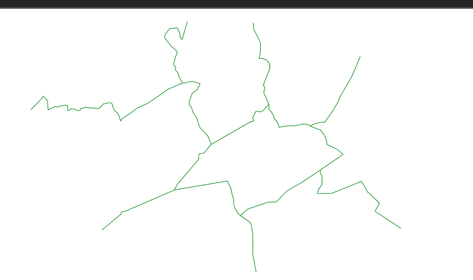
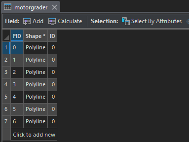
It's in the correct coordinate system (NAD 1983 2011 State Plane). But, when I add it to the map containing the other data (same coordinate system) it's in the wrong location (Extent).
Any advice as to how I can get into the proper 'Extent'.
Thanks,
Jason

