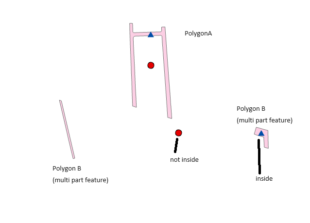
I have used Arc GIS PRO 3.1.2
I seek clarification on how ArcGIS Pro calculates the inside point for Feature to Point in Polygon.
According to the Esri guide page, the summary indicates that it uses "the center of gravity (centroid) of the polygon" . And "If the point_location parameter is set to INSIDE, Polygon features—The output point will be inside the polygon."
https://pro.arcgis.com/en/pro-app/3.1/tool-reference/data-management/feature-to-point.htm
However, the guide does not specify how the inside point is determined from the centroid point.
If anyone is familiar with this algorithm or specifications, please provide insight.