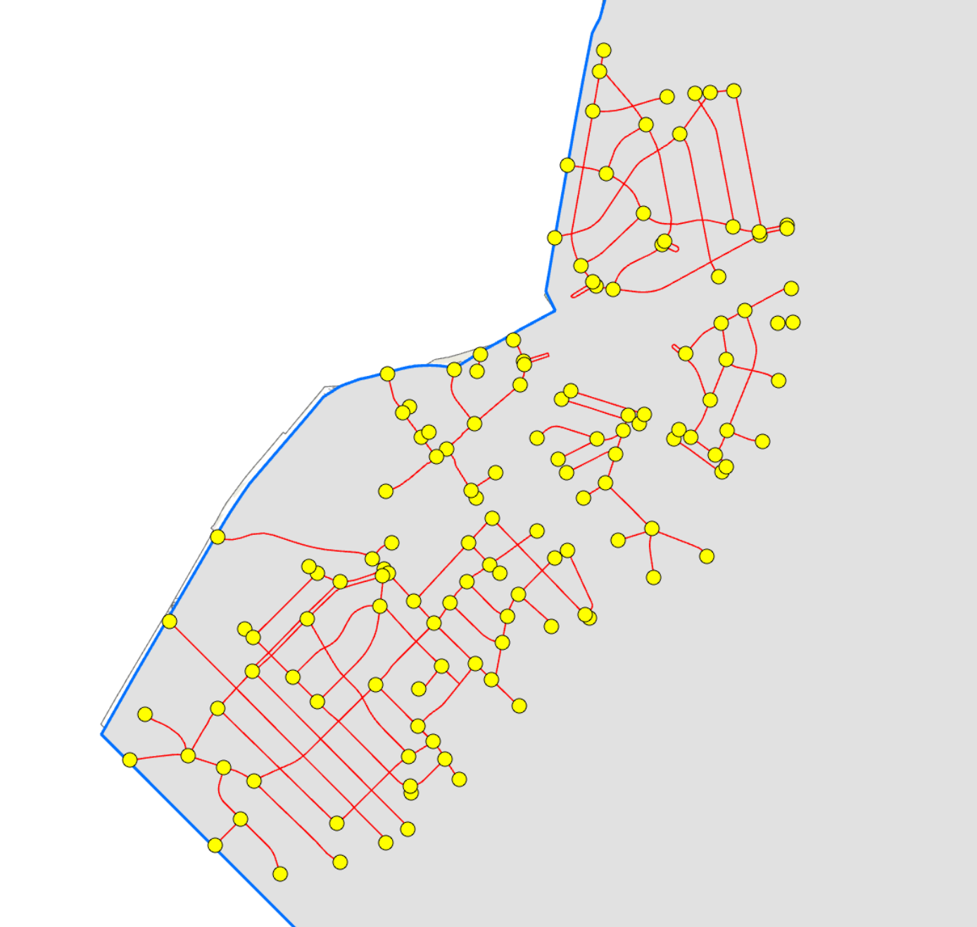
I am trying to get the best way for the driver to cover all these line segments (in red) using ArcGIS Navigator. I created end points for all the segments using ArcGIS Pro. Some end point segments have multiple points (2-4) at the same location. Can I keep those multiple points (2-4) at the same location, or should I delete all points except one before I publish the points and lines as map service so that ArcGIS Navigator can route the vehicle using the best routing sequence?