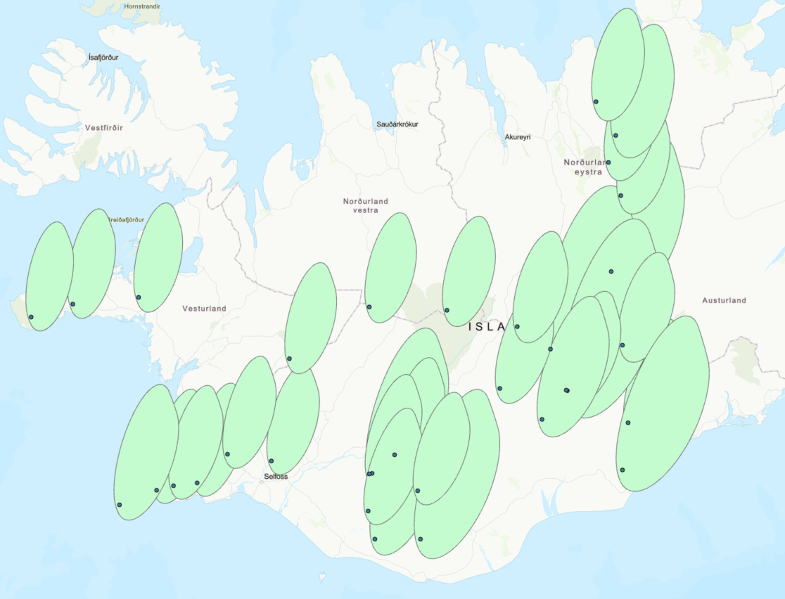
I've used Python code to transform buffers into elongated ovals, intended to visualize the area where volcanic ash would settle during an eruption. These modified buffers were based on the standard WGS 1984 coordinate system. However, the issue arises when these shapes are loaded onto a map in the Web Mercator view. Once visualized in the Web Mercator view, the shapes become distorted, especially near the poles.
I've tried projecting them onto Web Mercator, but this hasn't resolved the issue. Also, snapping the coordinate system to an empty shapefile without a coordinate system and then redefining it didn't work either. Does anyone have any tips or suggestions for this problem?
Thanks in advance for your help!
WGS 1984 with the right geometrie (see how the Shape starts from the single Points)
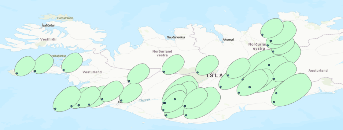
WGS 1984 Web Mercator (the Shape changes and doesnt starts from the single points. its slightly off