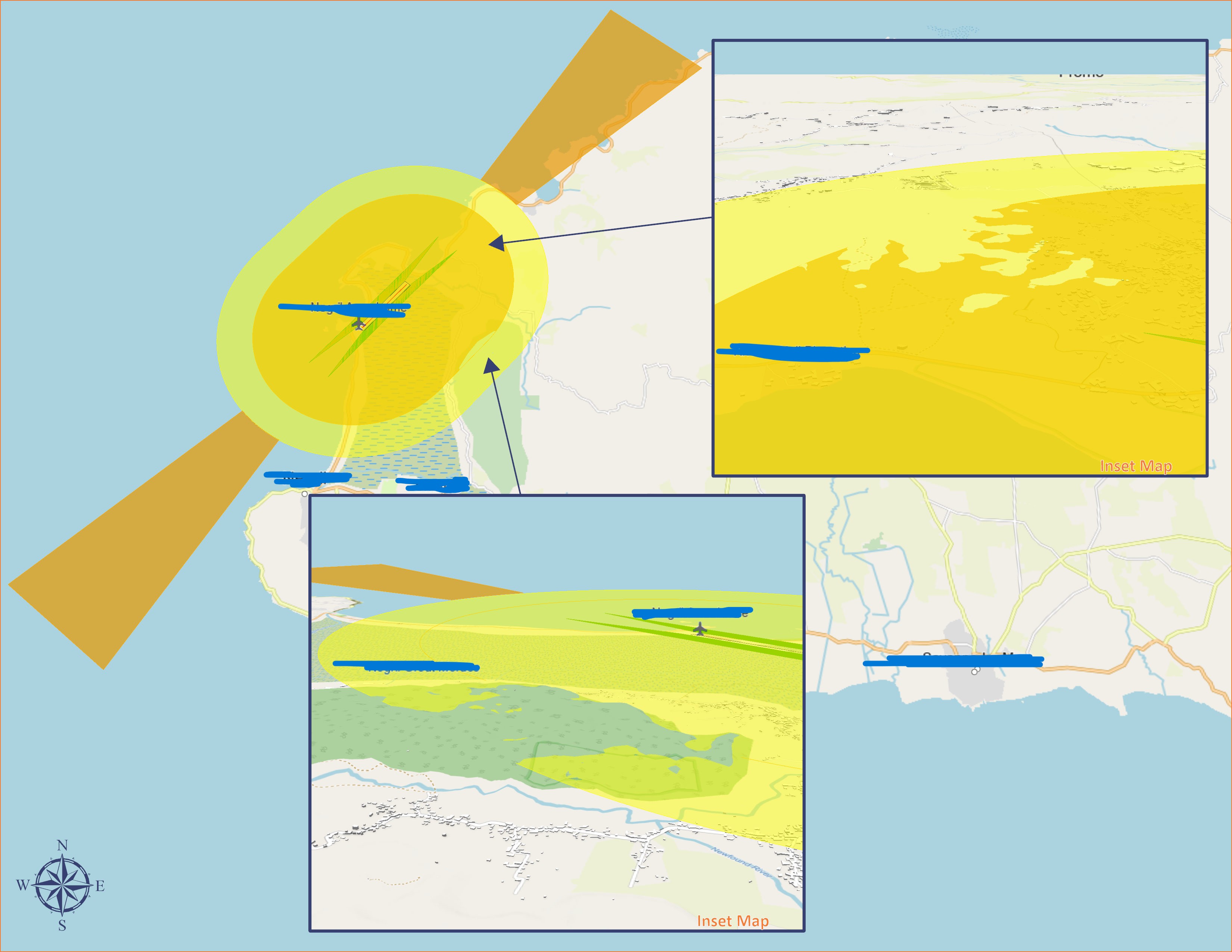
Hello, I am working on an airspace penetration analysis for an airport. We have recently moved to using 3D data with clients who have the capability.
Right now I am trying to create a layer of data (polygons preferably) that will show the areas of my polygon where its elevation is less than that of the terrain in that same location. Causing a "Penetration". Any input would be greatly appreciated.