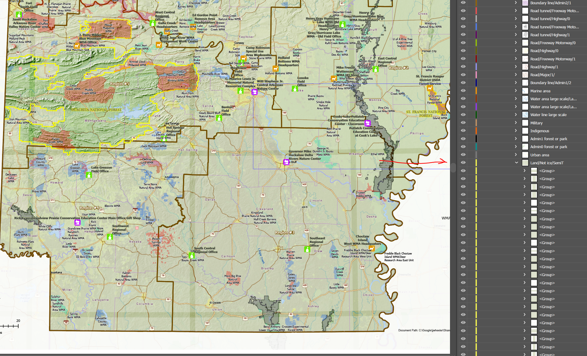
Has anyone had this problem where a layout with an esri basemap is exported from Pro and brought into Illustrator with what looks like overlapping tiles or gridlines? I narrowed it down to the layer in the basemap (National Geographic Style) called "Land/Not Ice/SemiT." If I turn that off, the grids go away. When I export from Pro as a pdf and open in Illustrator, the grids are not there.