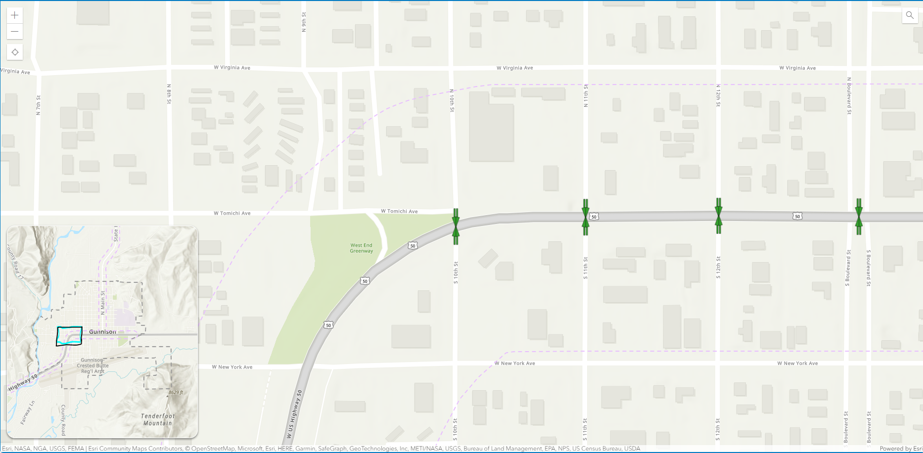
I have many maps that require users to zoom in in order to conceptualize the data. I tried out the Inset Map Instant App, but I'm seeing that they are only static insets. It would be very cool to be able to have users stuck at a predefined max zoom level on the main map and as they pan around, there would be a box in the inset map reflecting where they are in the study area.