MapMaker has been specially designed for use in schools to make teaching and learning with digital interactive maps easy. It is more than just a tool for the geography classroom and invites students across the age grades to ask and answer questions about our world:
MapMaker
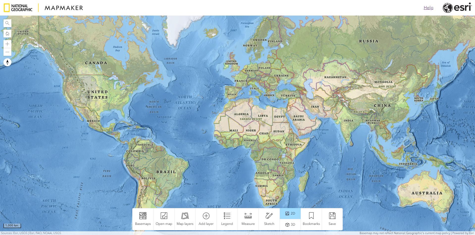
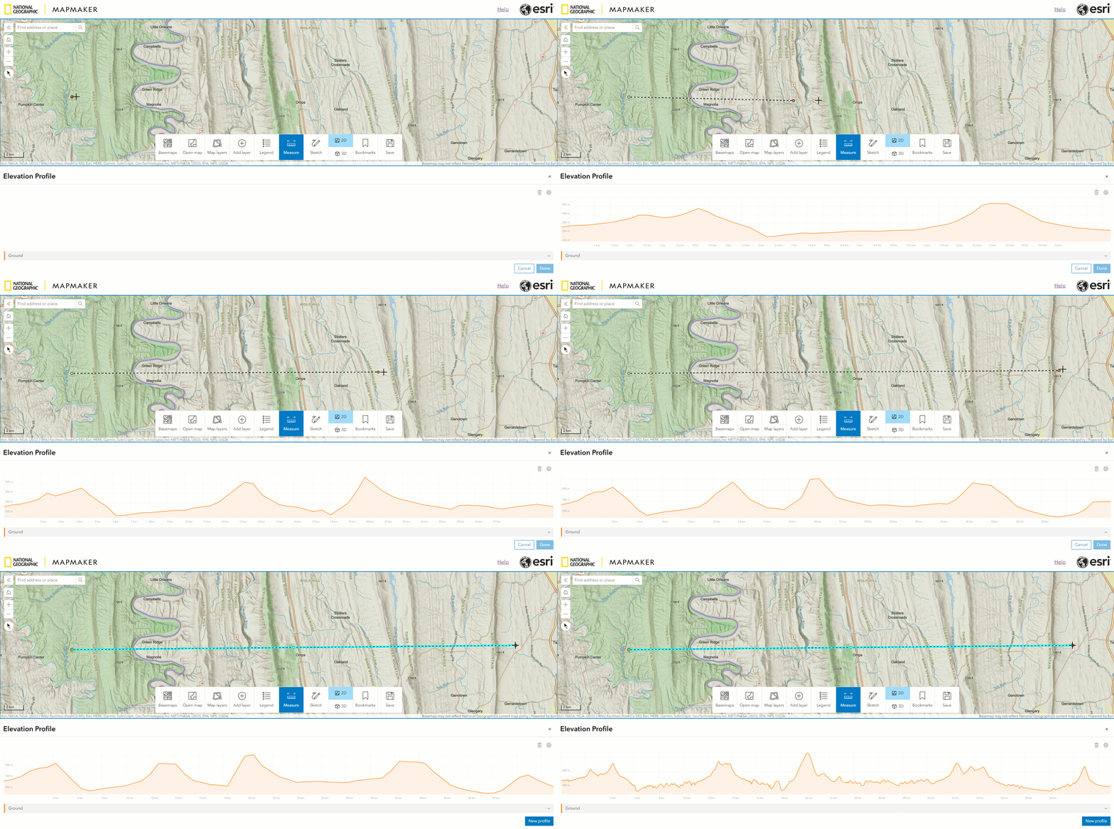
Students can explore the world in 2D or 3D and use innovative tools, such as, swipe, elevation profile, sketch, and measure to investigate classroom questions and create their own maps:
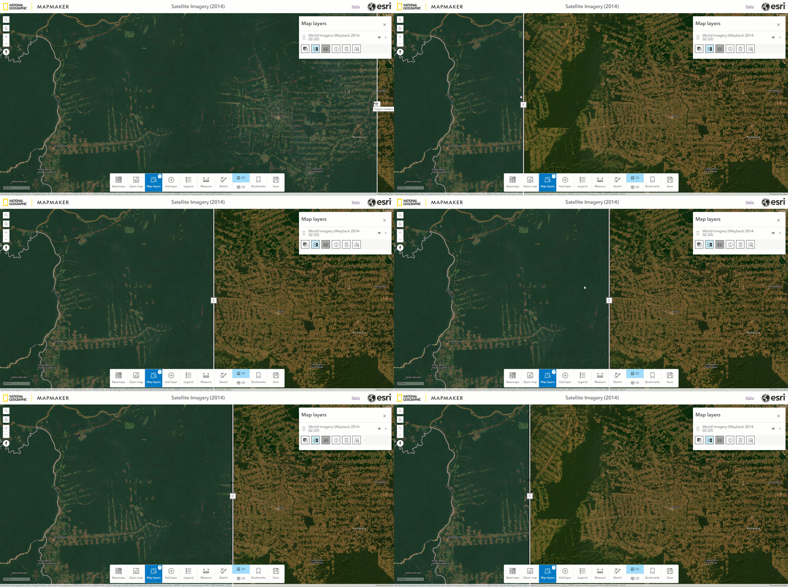
Swipe to see change over time
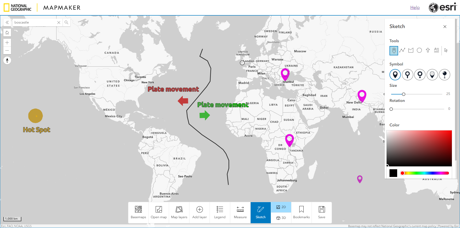
The new MapMaker Sketch tools
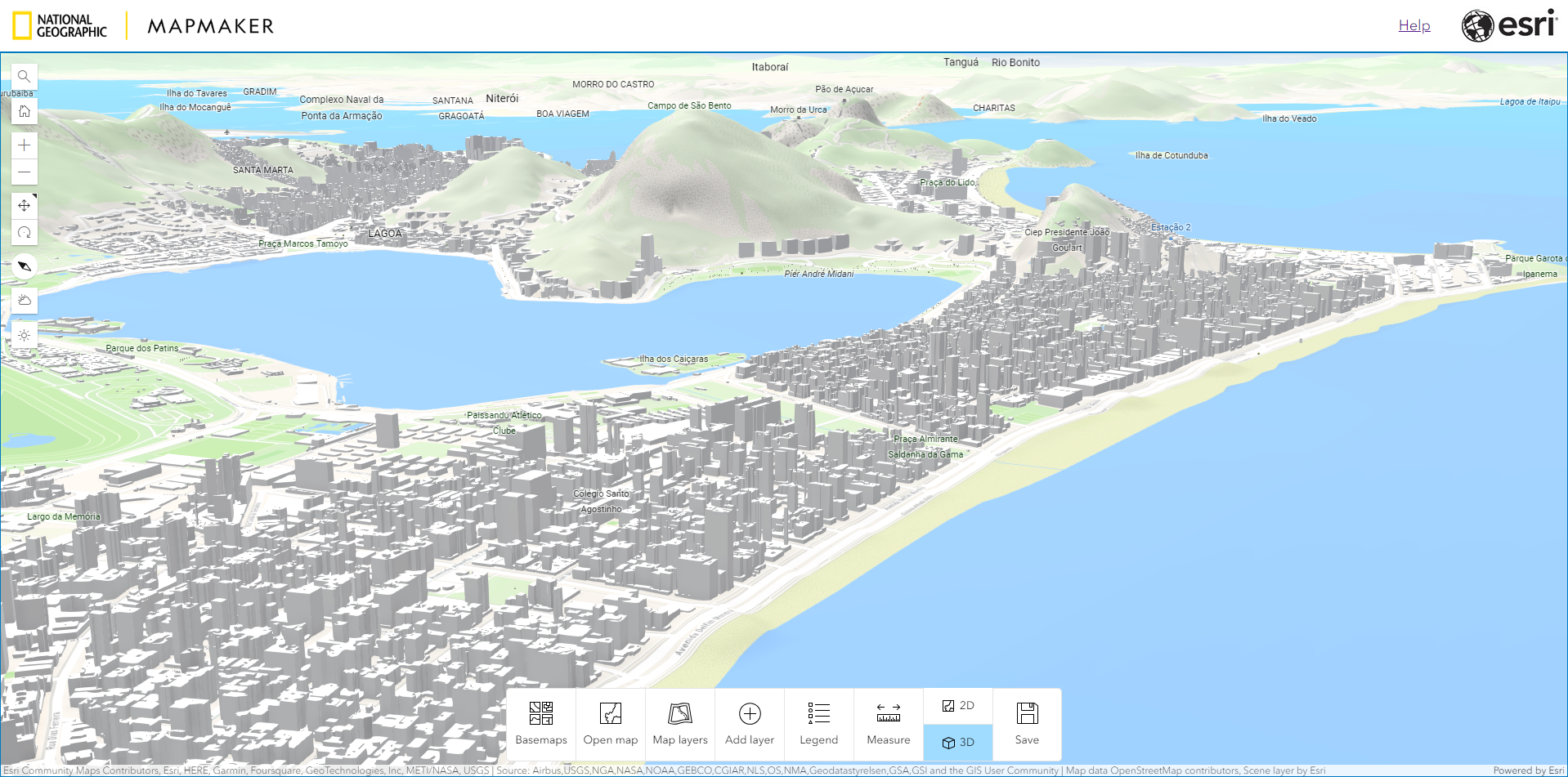
MapMaker in 3D
Elevation profile
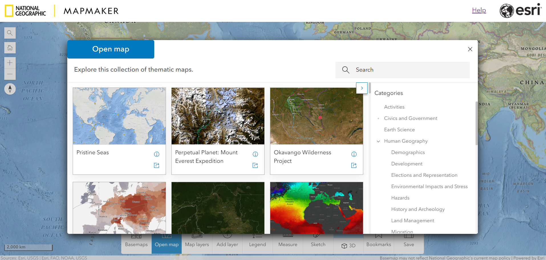
Teachers can also select from a wide range of curated map content and easily share these maps with students to support effective lesson planning and delivery:
Maps in MapMaker
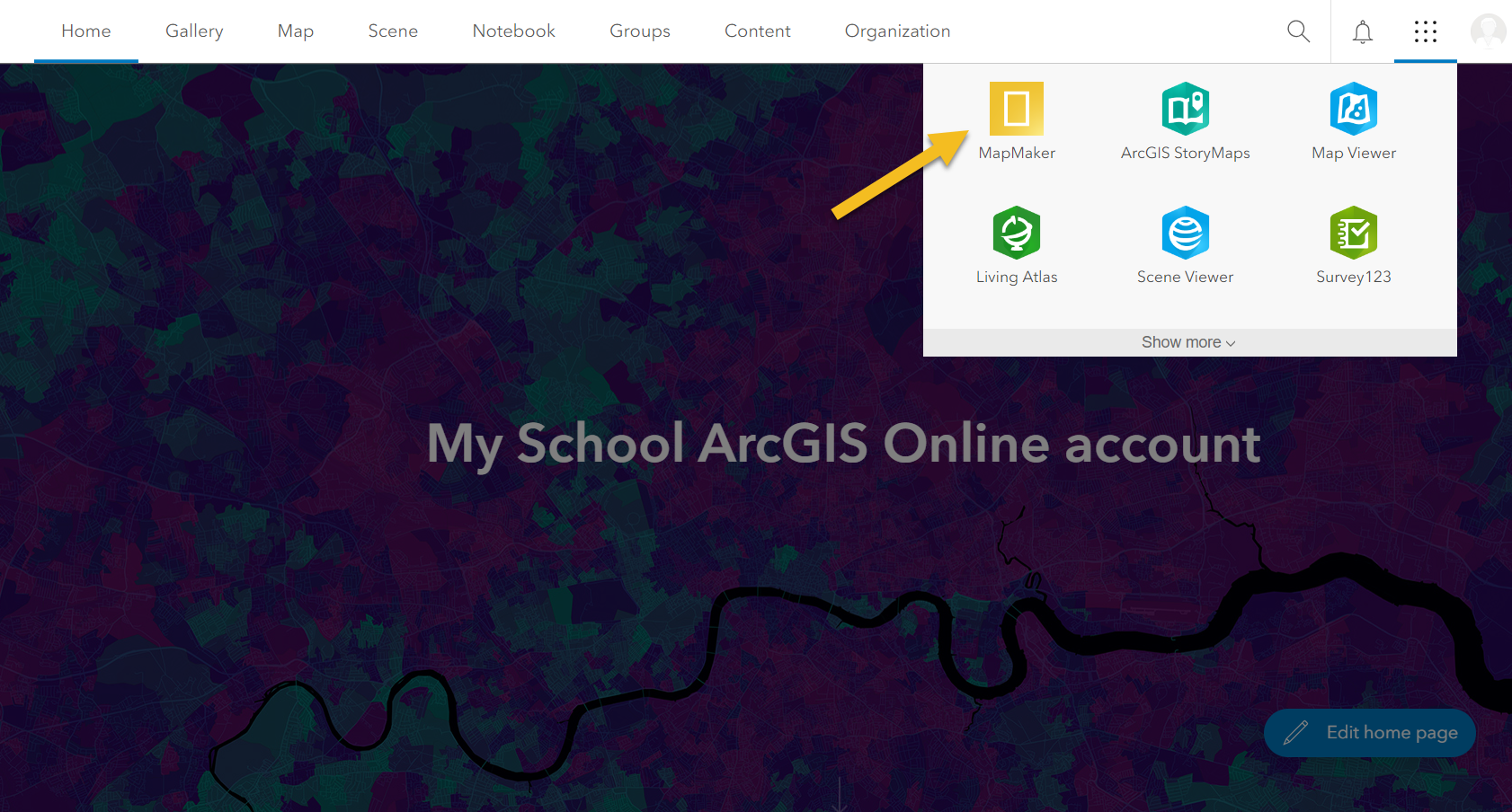
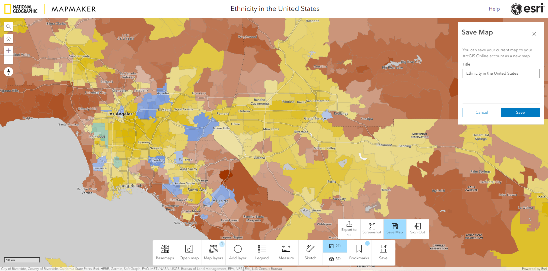
MapMaker does not require a login for teachers and students to use, however, a new feature added for this release is the ability to sign to MapMaker using a free ArcGIS Online account. Signing in allows users to create and save interactive digital maps and easily share them. Schools that already have a free ArcGIS Online account will be able to access MapMaker directly from the the App Launcher, making it very easy for teachers and students to get started:
The app Launcher
Saving a map
For a more detailed overview of how the new MapMaker can support your teaching, please take a look at our Introduction to MapMaker StoryMap.
A link to the app can be found on our K12 education website. Please feel free to share the link so that we can help as many schools as possible get started with MapMaker.
If you have any questions or feedback on MapMaker please email us at:
mapmaker@esri.com
