I have a custom geoprocessing tool that currently takes raster layers (DSMs and DTMs). However, to scale it up and reduce the need for end-user research, I built large raster mosaics of the input data needed by users. Then I published those as Map Services on ArcGIS Enterprise. So far good to go.
However, nothing I've tried will allow my tool to set those loaded service layers as inputs to my tool. Just for clarity, in the picture below I need to pull in the content annotated by the red rectangles.
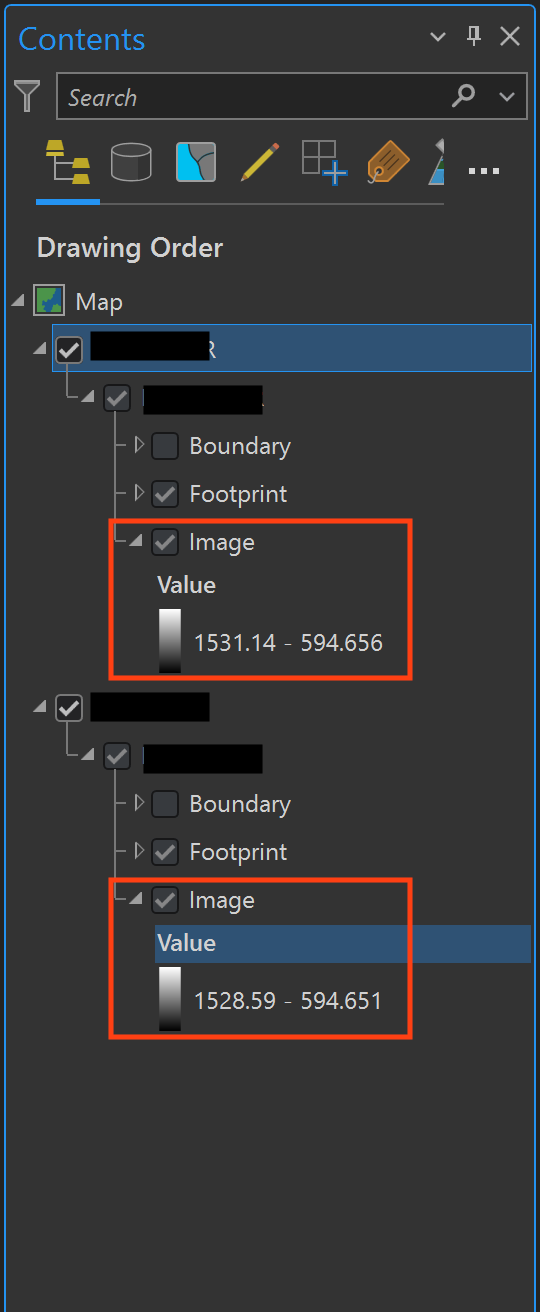
For Parameter types, I've got: ['GPRasterLayer', 'GPRasterDataLayer', 'GPMapServerLayer', 'GPMosaicLayer']
but none of them will see the map service layer I'm trying to bring in. How do I access this content as a parameter type?
