Hi,
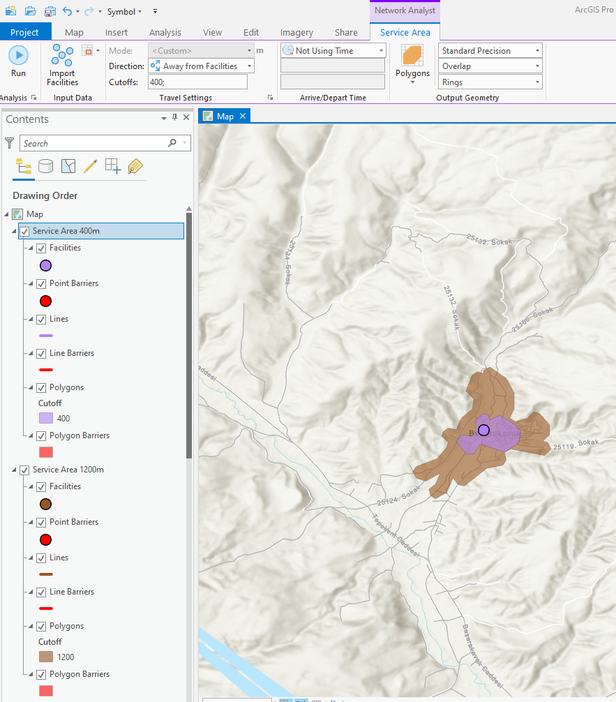
I want to create buffers based on the road network around my facilities. I am doing this by service area analysis. I just want to create isochrones based on the network by only entering the distance, not a travel mode. I did it, but there are only travel mode analysis examples on the internet. That's why, I'm not sure about the accuracy of my analysis. Do you know what's the logic behind the service area analysis without selecting travel mode, just entering the distance as in the photo I shared?
Any support is appreciated.