Hi all,
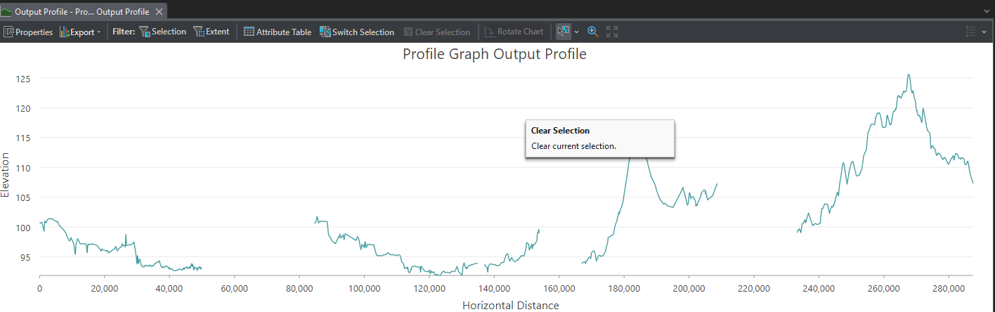
I am trying to create an elevation profile chart using the Profile Tool for a path feature layer. But I am getting a disconnected chart (see image below), and I don't have any idea why that is.
FYI, the input layer is one feature, and it is connected without gaps. The spatial reference is WGS 1984 Web Mercator (auxiliary sphere).
If anyone knows a solution to this problem, I would appreciate it.