Hi,
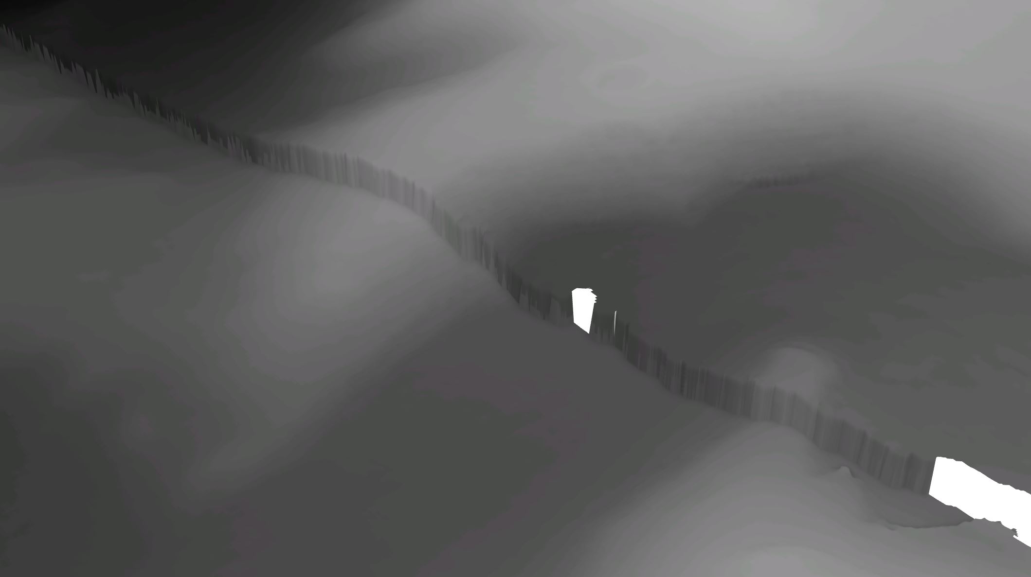
I have a set of two DEMs which were created separately. In 3D they appear offset to each other. The spatial data seems fine and mosaic merging does nothing to change the offset. How can I remove this 'cliff'' and merge the DEMs smoothly together?