Hi,
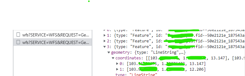
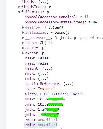
I have a WFS (v2.0.0) containing polylines with Z value hosted a local Geoserver. I am able to render the polylines on webscene, however, the z value seems to be missing. It is rendered flat at 0 elevation. The response from Geoserver clearly contains z value (pls refer to the screenshot).
I have tried the same using ArcGIS Server (WFS) and it was working with no issues. Is there anything that I have missed out? I've also upgraded to the latest version of arcgis/core (4.26.5) and played around with the elevation
let wfsURL = http://localhost:8080/geoserver/myData/ows?service=wfs&version=2.0.0let renderer =
{
    type: "simple",
    symbol: {
      type: "simple-line",
      width: "2px",
      style: "solid"
    }
  }
const fLayer = new WFSLayer({
      title: "myPolyline",
      url: wfsURL,
      name: "myData:myPolyline",
      outFields: ["*"],
      renderer: renderer,
      popupEnabled: true,
      elevation_info: {
         mode: "absolute-height",
         offset: 0,
         unit: "meters" }
  webscene.add(fLayer)