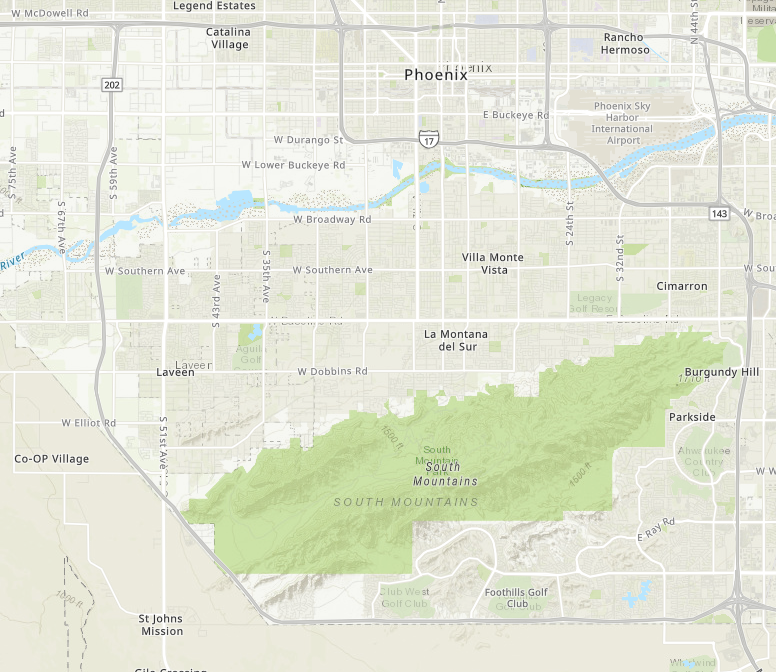
Basically what I am trying to do is replace the topographic basemap we have saved and use throughout our organization with an updated vector topographic basemap while maintaining the original map ID. This way all current applications using the original topographic map will now have the updated vector topographic basemap.
ORIGINAL
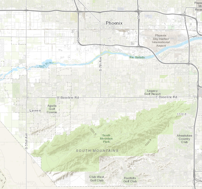
VECTOR TOPOGRAPHIC