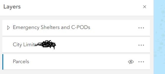
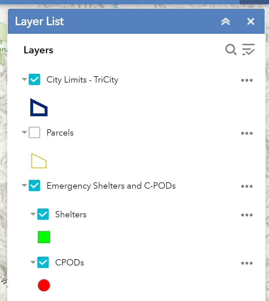
Any ideas on why the order of the layers I have in the Map Viewer are different than what is shown in the AGOL web map app? One layer is sourced from a REST URL (map service), the other two (City Limits and Parcels) are sourced from an existing image service in AGOL.
I need to have the points layer on top of the polygons (City Limits and Parcels), but City Limits keeps coming out on top of the layer list. No matter what order I manually drag them in Map Viewer.
I have used Map Viewer Classic before and this was never an issue. Should I switch back to Map Viewer Classic?
The 1st image is from the Map Viewer, the 2nd image is what it looks like in the web map app.