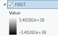
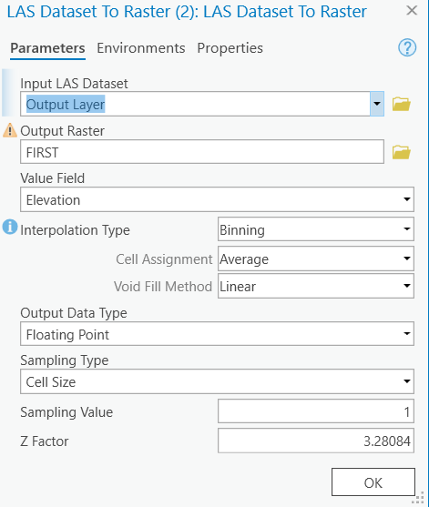
I'm using ArcPro 2.8 to take lidar datasets and convert them to three raster layers representing ground, first returns, and last returns. I'm using a modelbuilder model that has worked for many other las datasets. I'm redownloaded the LAZ files and reconverted them to LAS to check there wasn't an error in the original input.
The high and low values are below for each of the rasters are below.
Does anyone have any idea why I'm getting these results and how I may fix it?