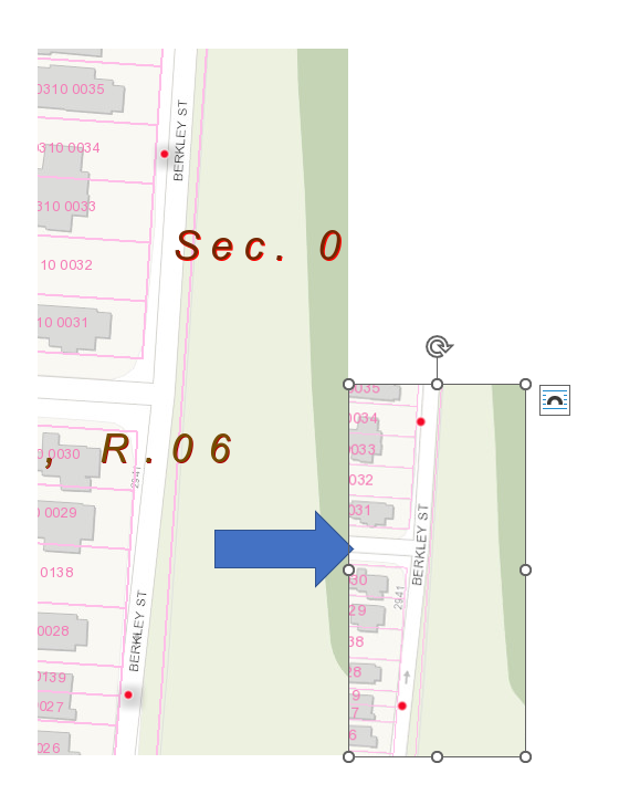
Kind of baffled by this one. Why can I style a layer in a web map and then have it look very different in the associated web app?
In the map below, the public facing web app completely ignores this shadow.
I've also experienced huge differences in the way that clustering is displayed. So much so, that I can't even preserve one of our maps that contained clustered points. I'm scratching my head trying to figure out why this is happening. I've even changed colors of symbols to make sure I'm editing the right layer.
=