Attached is a Python script that I run from ArcGIS Pro 3.0.0 to create a File Geodatabase to create and load a test LRS dataset with two routes belonging to one line. It looks like this:
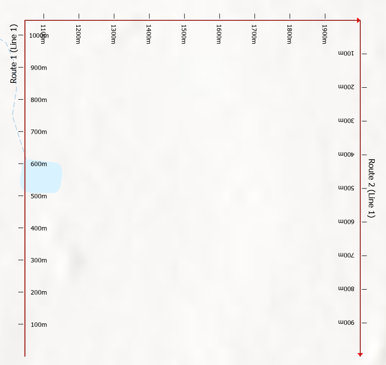
What I am trying to do is to split Route 1 at its 1,000m measure so that it becomes a new Route 3 from 1,000 to 2,000m and leaves Route 1 from 0 to 1,000m.
To do this I try the following:
- Use the Location Referencing ribbon tab to click Split Centerline By Measure
- Choose the route whose centerline is to be split by pointing anywhere along it and then in the Location Referencing pane to its Measure (in meters) value as 1000
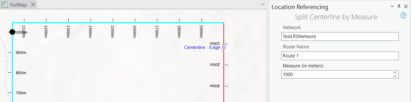
- The Centerline seems to split as expected. I have tried saving edits at this point and leaving them unsaved - it does not seem to matter to the rest of the procedure.
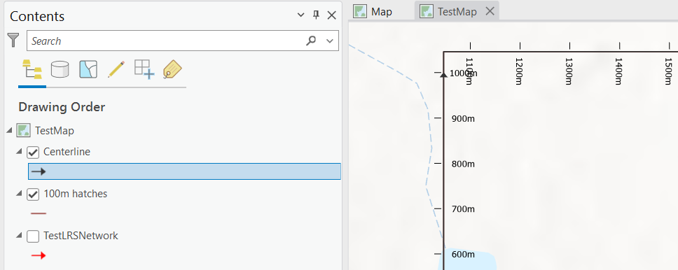
(note that the 100m hatches layer and the TestLRSNetwork layer both have the TestLRSNetwork feature class as their data source)
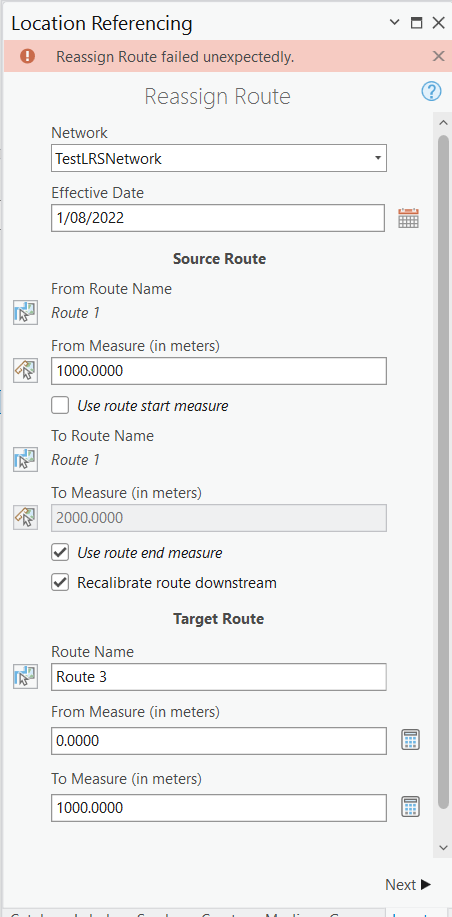
- To reassign the last 1,000m of Route 1 to Route 3 choose the Reassign tool from the Routes group on the Linear Referencing ribbon tab and set Network: TestLRSNetwork, Effective Date: <today>, From Route Name: Route 1, From Measure (in meters): 1000, To Route Name: Route 1, To Measure (in meters): 2000 (by getting it to Use route end measure) and for the Target Route I set Route Name: Route 3, From Measure (in meters): 1000 and To Measure (in meters): 2000
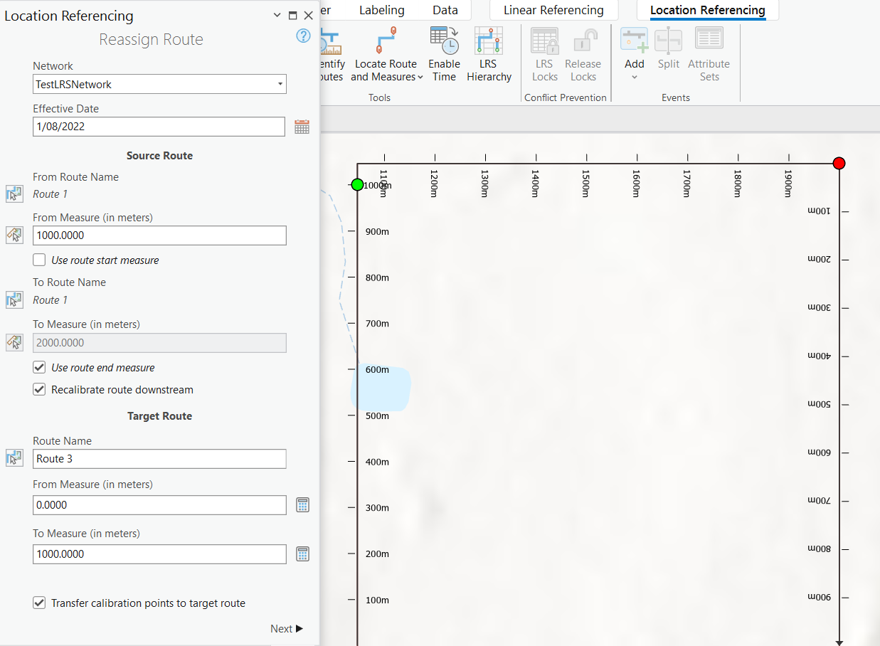
- I click Next and get an error of Reassign Route failed unexpectedly:
Why did this fail?


