Hi all, wondering if anyone knows how to merge these overlap features together.
Figure 1. Overlap section has two features as shown on the identify panel
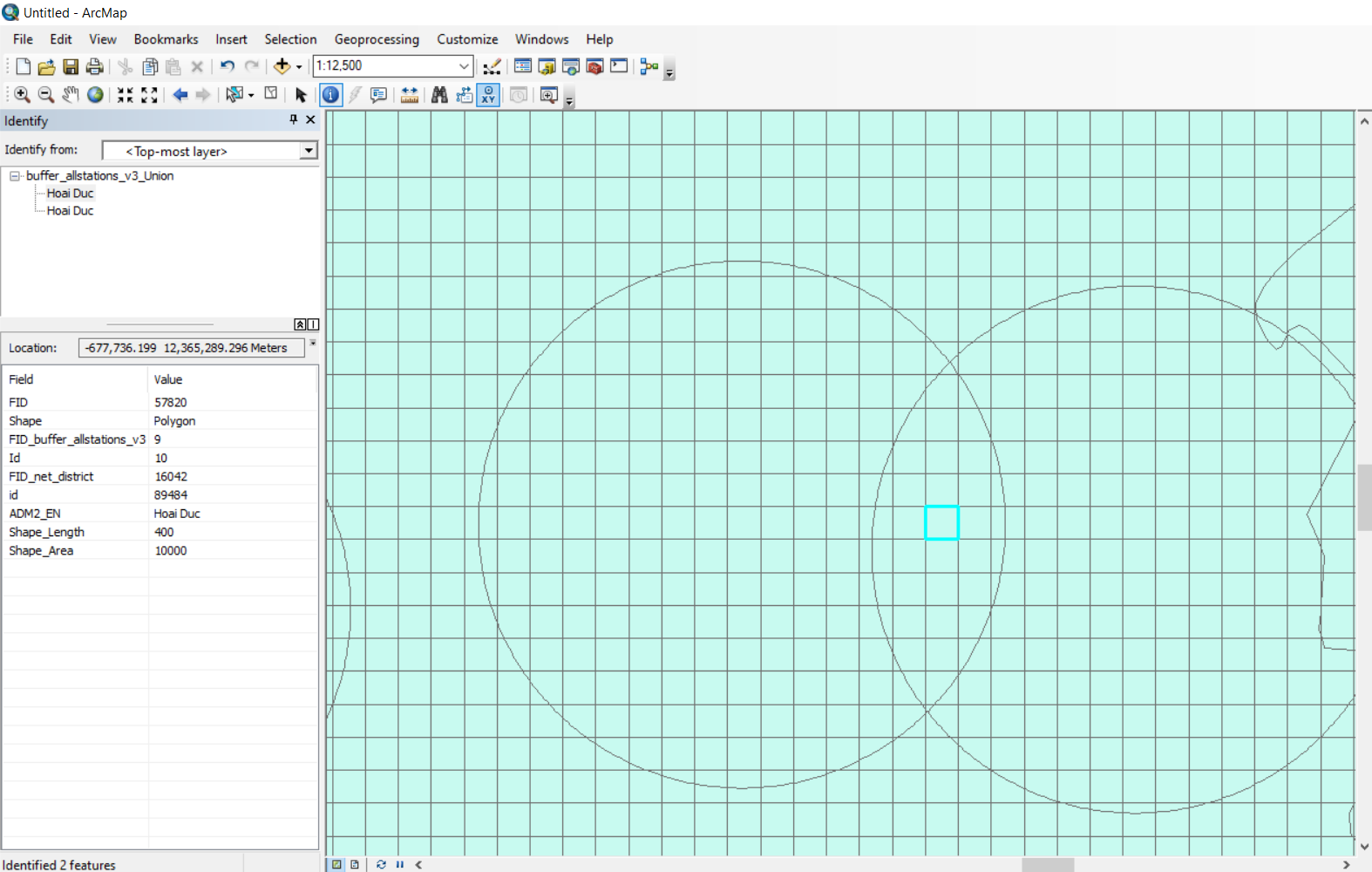
What I want to do is make a kind of "catch-net" for points of interest in areas around transit stations. So I created a buffer around those stations and used union to join them with a fishnet shapefile of the region. But then I realized that I'm double counting some places and discovered that it's because of the overlap sections of these buffers.
Below was my process:
1. Fishnet of the region.
2. Buffer around station points.
3. Union to join 1 and 2
Does anyone have any idea of how to merge the unioned features? Or is there an alternative method to my three steps for creating these features?
Thank you in advance!

