Hello,
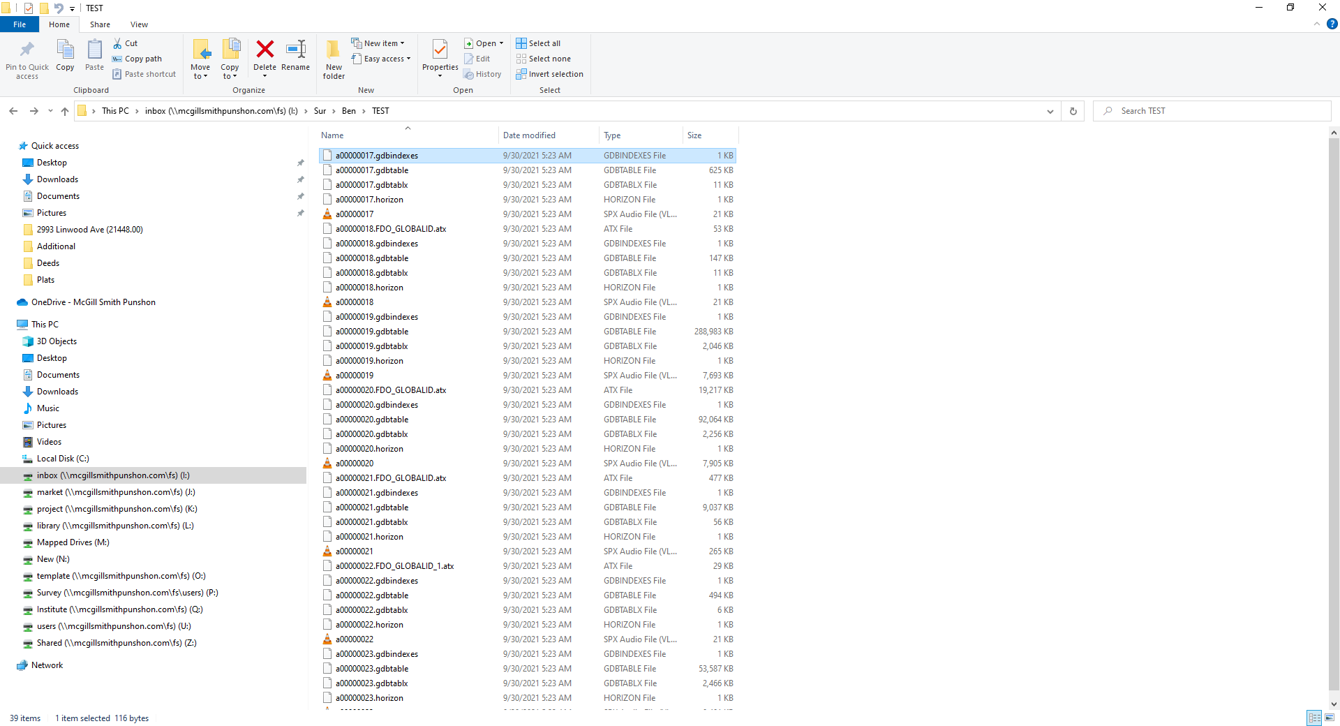
We work with GIS data in CAD to create base maps. Our local counties have recently stopped supplying shape files and started sending these GDB files. I am having trouble getting the old ArcGIS Desktop 10.5 software we use to recognize these files, let alone convert them to shape files, which is what I need. Any help or advice. They look like this:
Any help would be fantastic, thanks






