Morning ESRI community,
I'm having trouble assigning the closest 'sedimentation risk' value to every segment of the river that is 50km downstream.
I have four files to work with:
1) SH_Network_GDB: this contains the original river network. It is a polyline file.
2) RUSLERF_INT: this is the sedimentation model I built based on fire severity, rainfall, slope, etc. It is a raster.
3) SH_Network_RUSLERF_0_V2: This is the spatial join between the river network and my RUSELRF model, to provide each segment of the river a sedimentation risk. It is a polyline file.
4) SH_Network_50: This is polyline file which contains all rivers 50km away from the fires (both upstream and downstream). It is a polyline file.
So in this below screenshot, we can see that this segment (HydroID: 2564302) has a grid code (sedimentation risk) of 26. The next downstream segment is HydroID: 2562619.

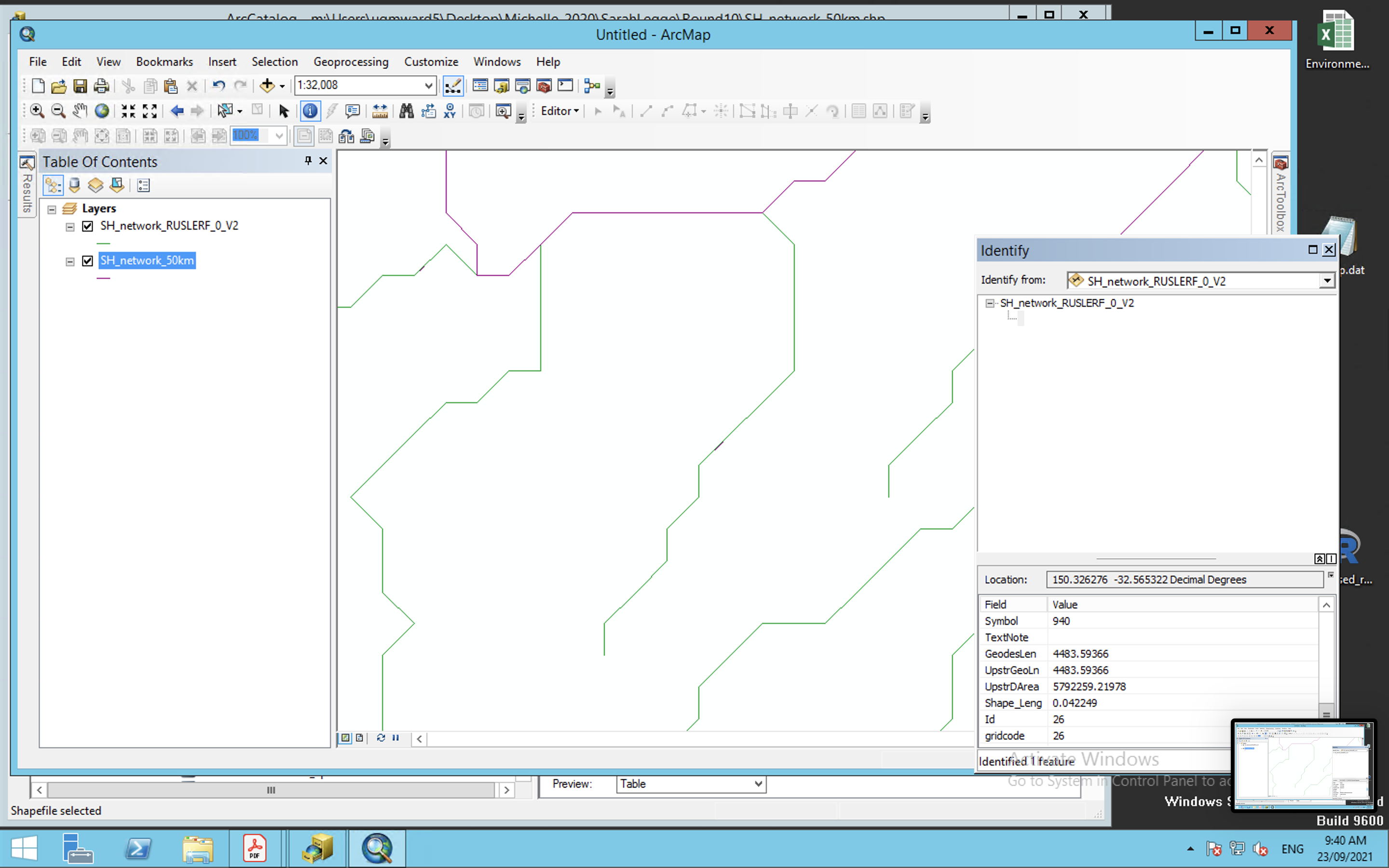
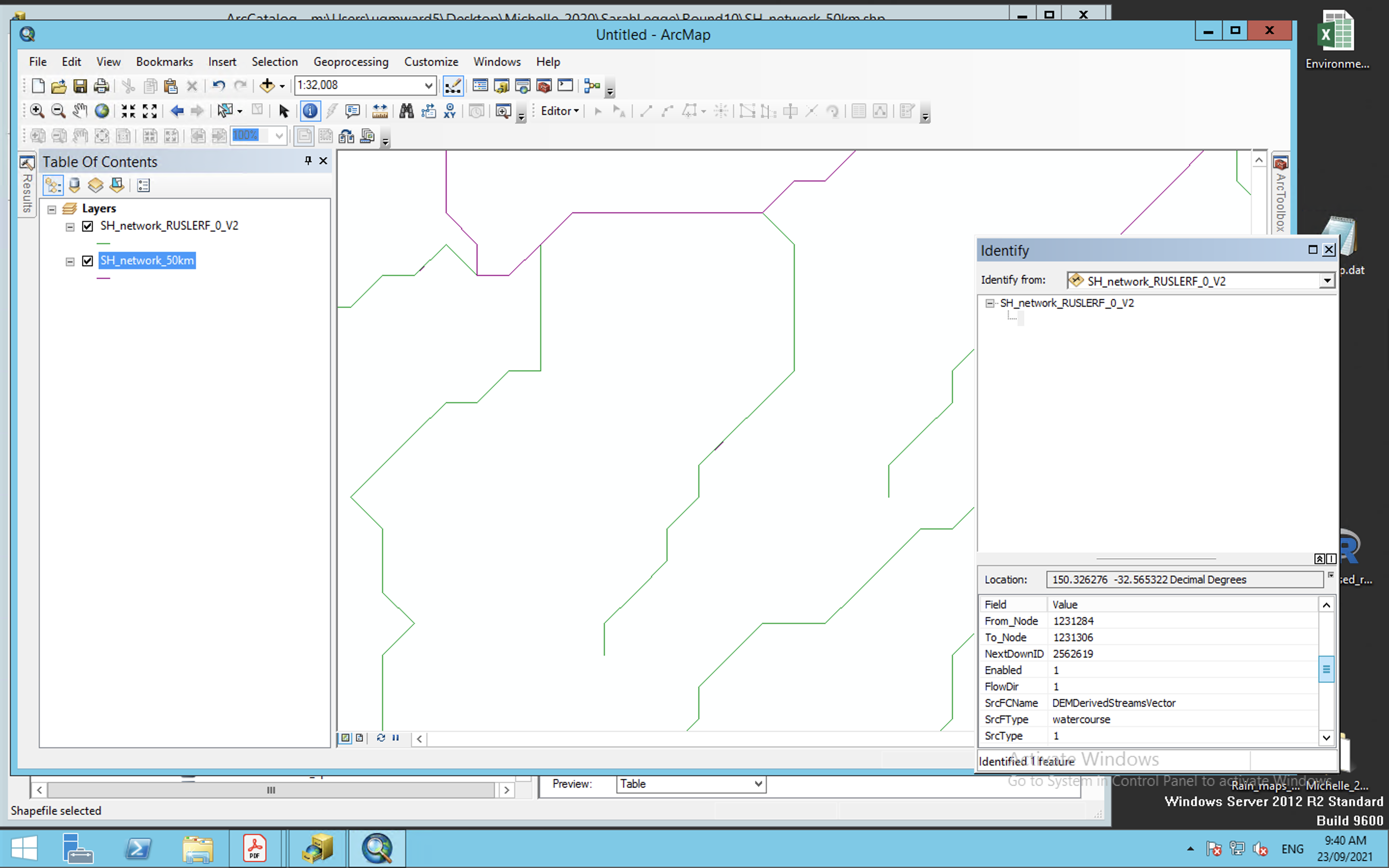
So then I would like to assign this next downstream segment (and every downstream segment for 50km), 'sedimentation risk' 26.
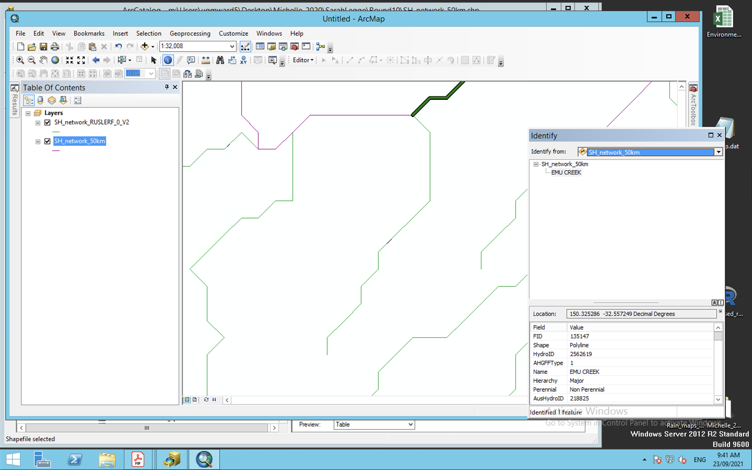
Thank you for any help!

