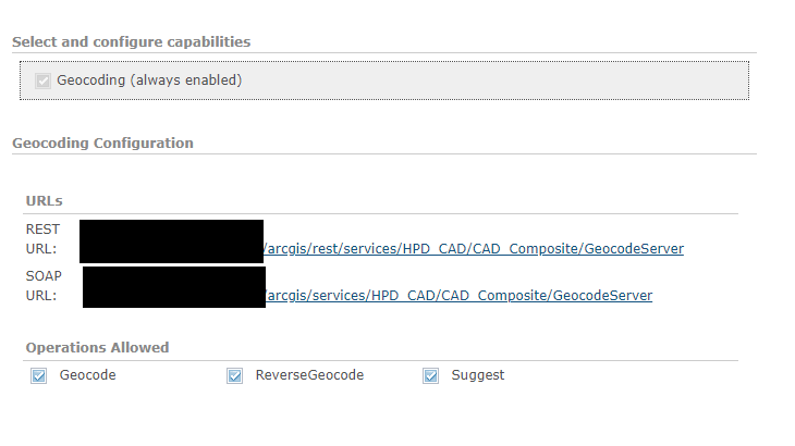
I am trying to make a call to a composite locator geocoding service I have in my ArcGIS Enterprise. I used the following two calls as a model from this geonet post: https://community.esri.com/t5/data-management-questions/need-a-composite-locator-to-find-nearest-point/m-p/456697 , but when I put in my own url, it returns an error 400 "Unable to complete operation"
https://geocode.arcgis.com/arcgis/rest/services/World/GeocodeServer/reverseGeocode?location=2.2945%2+48.8583&distance=200&returnIntersection=false&f=pjson
https://geocode.arcgis.com/arcgis/rest/services/World/GeocodeServer/reverseGeocode?location=2.2945%2C+48.8583&distance=200&returnIntersection=true&f=pjson
(I replace everything up until GeocodeServer). I am able to reach the reverse geocode UI in the directory, so I know it's getting to the locator and FindAddress calls work fine on it.
I made the composite locator in ArcGIS Pro 2.8, and it is hosted in ArcGIS Enterprise 10.8.1.
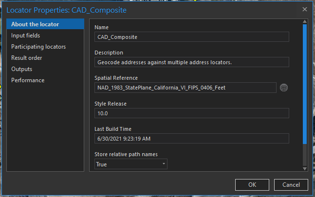
Please let me know if I am doing something wrong... here ar ethe properties of the composite locator for reference:
Here are the capabilities of the service: