Hello again! I'm still a newbie in arcgis and I'm having troubles with one of my assignments:
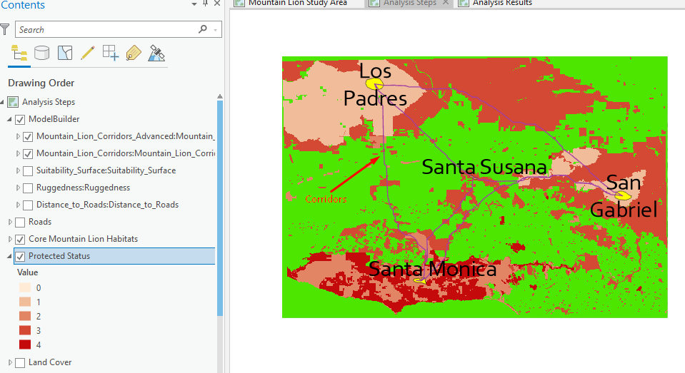
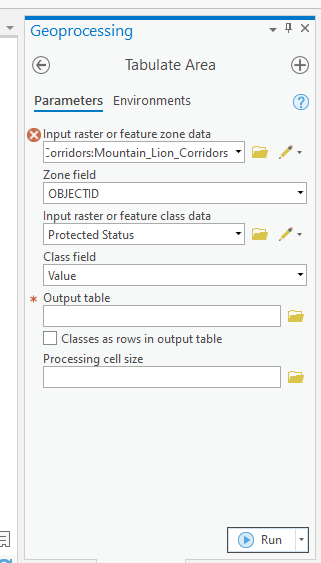
I created a corridor model because I wanted to create the most suitable path where mountain lions can cross. In my screenshots, I'm showing this path created by running the corridor model (purple line between sites) however, I would like to integrate this data with another one of my layers. For instance, I would like to know how much of these paths are protected in the various protection statuses. I have protection statuses ranging from values 1 to 4 (least protected to fully protected) as you can see, so I would like to see how much of these land covers are the corridors involved in? I tried to do this by using Tabulate Area tool, but when I try to specify my paths as an input raster, the software is detecting them as an invalid extent Any ideas of how I can do this?