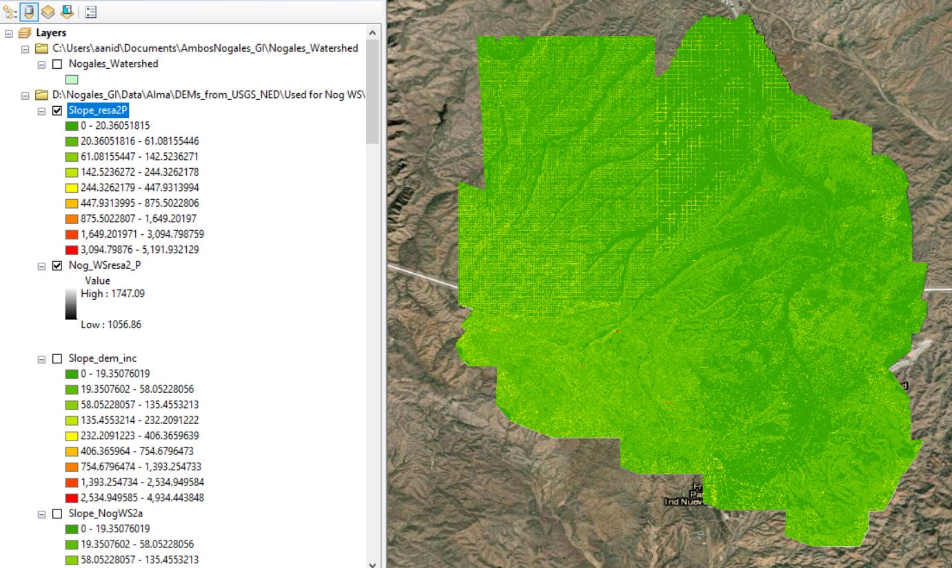
In order to get the entire area of interest covered, I had to "merge" through the mosaic to new raster tool several DEMs with 3 different resolutions (0.6m, 3m, 10m). I then resampled this merged raster using the Nearest Technique.
It all looked great at this point, until I tried calculating slope percent from the resampled raster. The ranges are crazy high (in the thousands), and it is apparent which areas have different resolutions.
I've tried playing around with the parameters in the environment, but nothing has changed. Any ideas??