ArcGIS Pro 3.5.4: What does the red color indicate when an image is georeferenced?
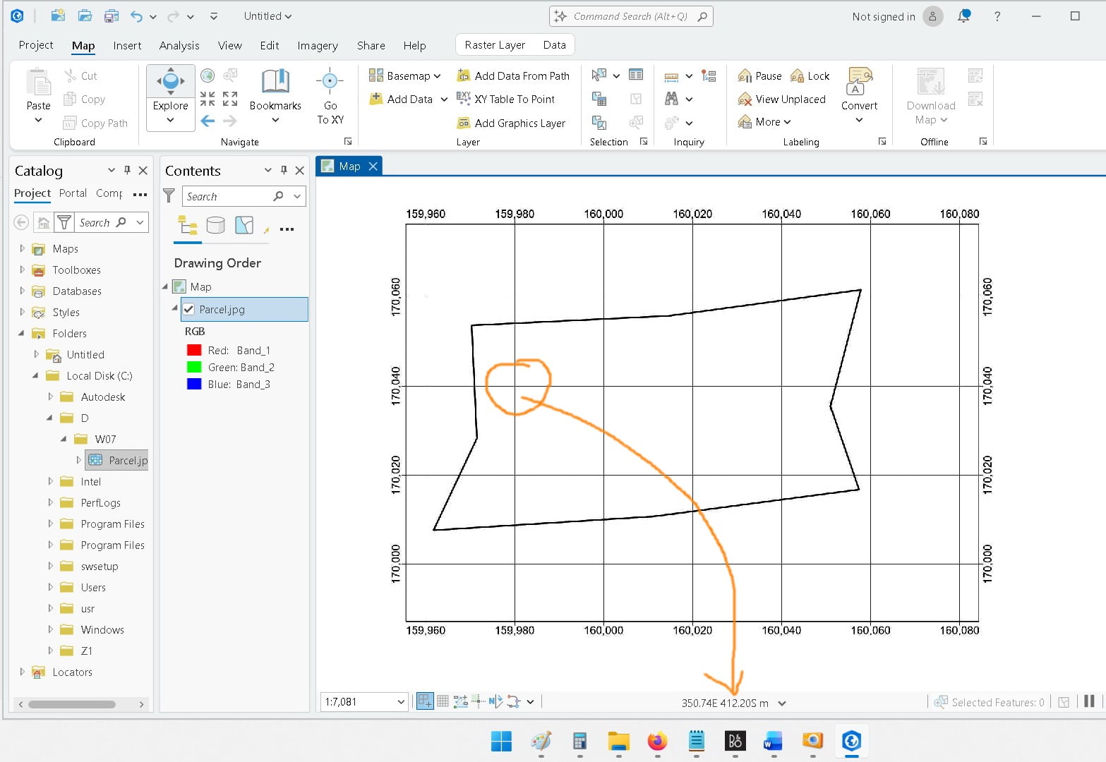
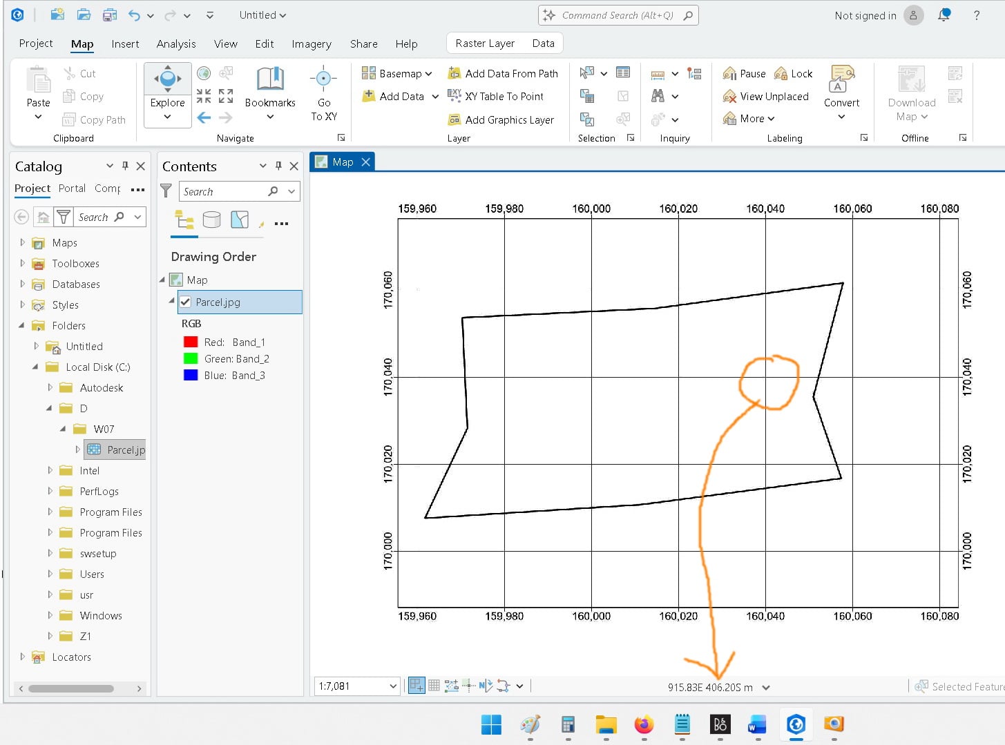
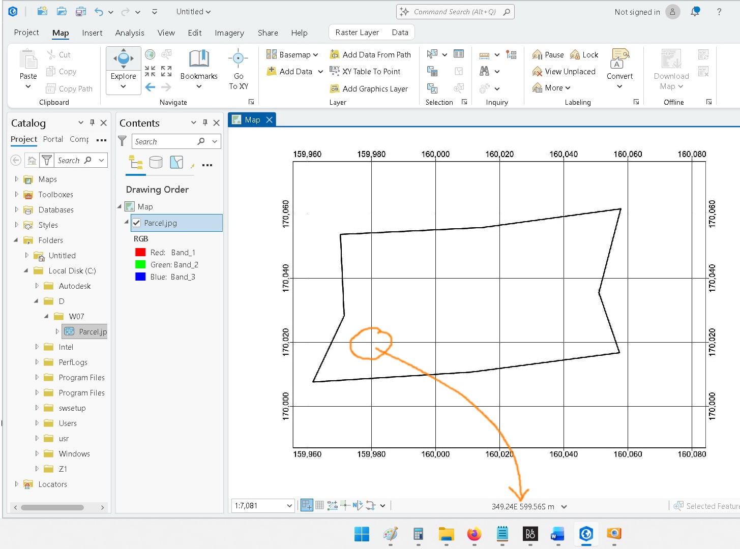
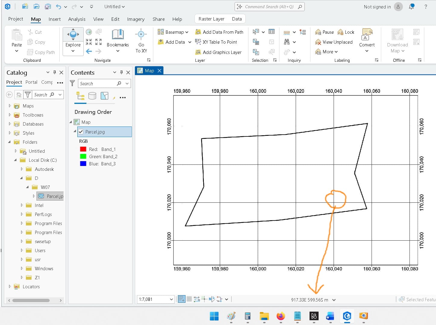
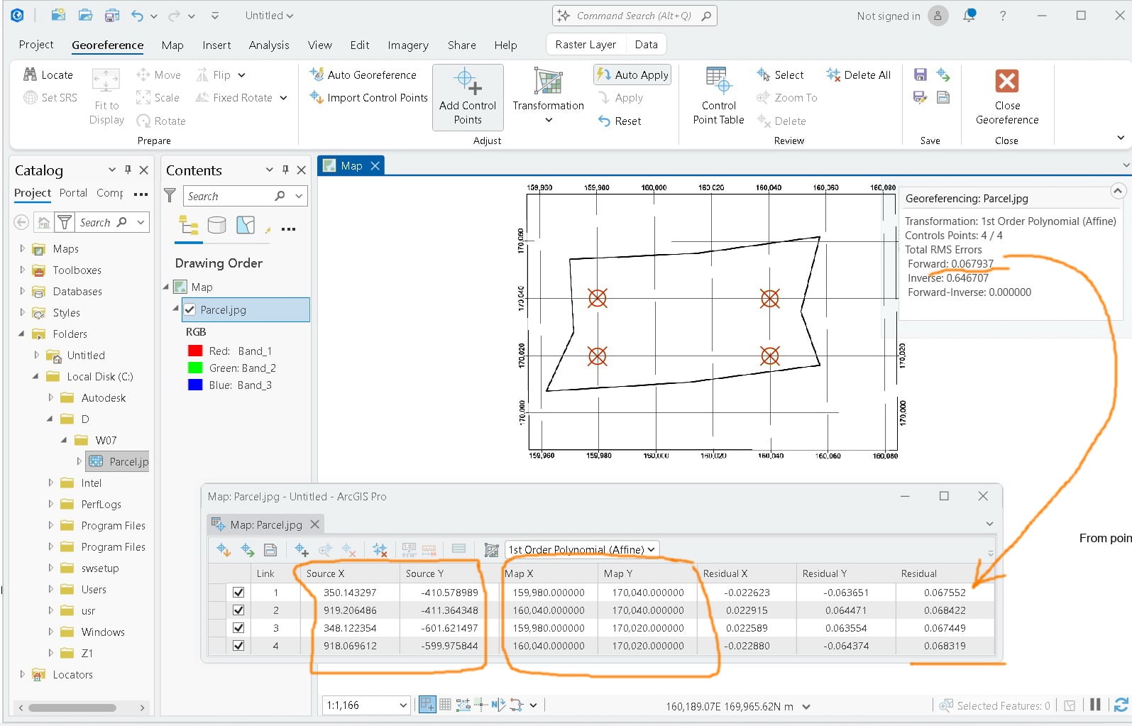
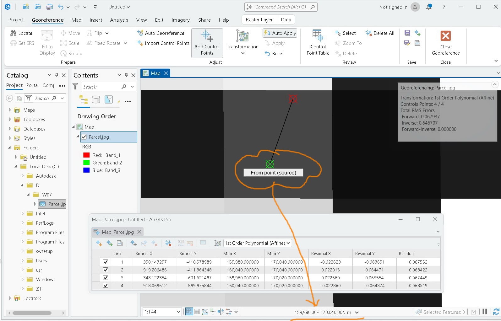
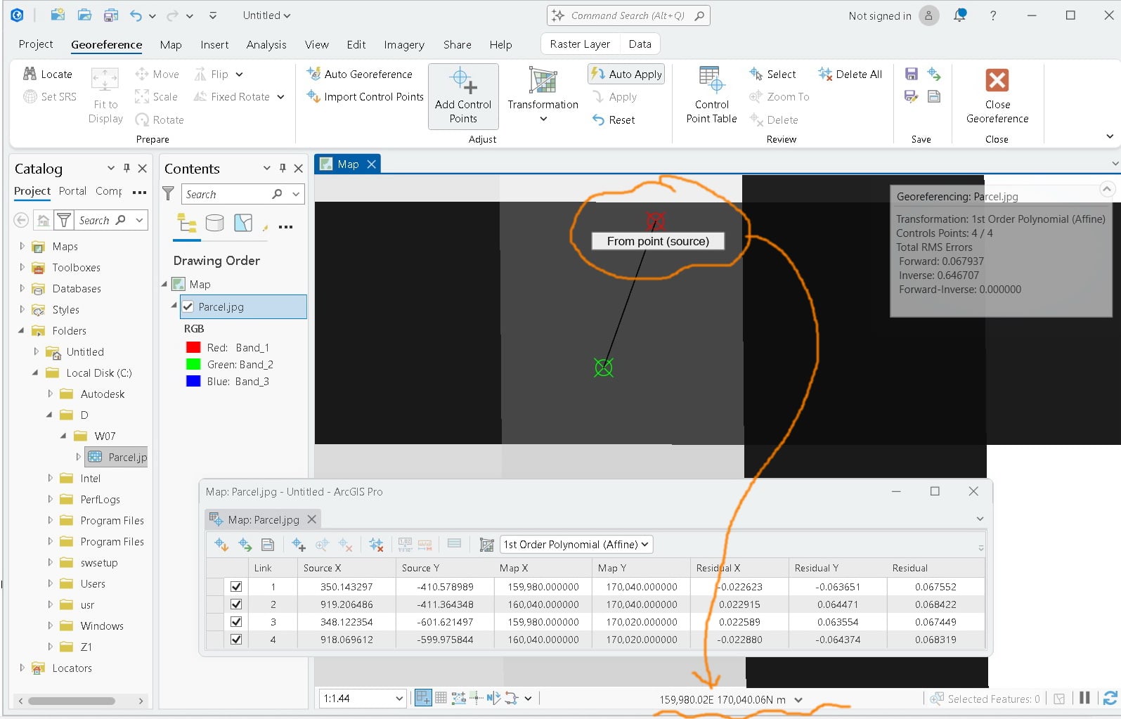
In the first four attached images, the coordinates for the indicated points are marked. These coordinates represent the XY values of the image as it is initially inserted into ArcGIS Pro. These points are then used to georeference the image according to the actual reference points shown on the grid.
After adding four control points, two colors appear: green, which represents the control points used to georeference the image, and red. However, there is no explanation of what the red points represent. How are the coordinates of the red-colored points calculated?