Hello world!
I'm facing a pretty frustrating task atm.
For the straight-forward guys: my questions are in the very end.
For anyone interested in further details, here some screenshots.
Here the result of a hydrological simulation using the software FEFLOW (finite-element):
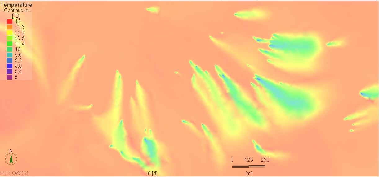
What it shows is the temperature distribution in groundwater-offstream of geothermal injection wells.
So far so good, result is not only valid, but looks real good.ull
The problem now is to export that result as raster for further use in ArcGIS, which is not possible using that software.
It allows me only to export the values on the node-points I used to create the distribution.
So, it is possible to export as Shapefile, but when importing it to Arcgis, it of course looks like that:
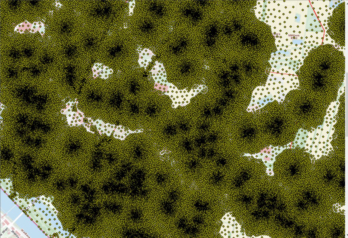
You might now already know what my problem is....
I now need to find a way to convert it into a raster.
Interpolation (Kriging, IDW etc.) leads to horrible results, I've tried that already. It also seems riddiculous to again krig the result of a precice FE-model....
My way was the tool "Points to raster".
I'm feeling that I'm on the right way, but am still facing a problem, that you'll see in the following screenshot:
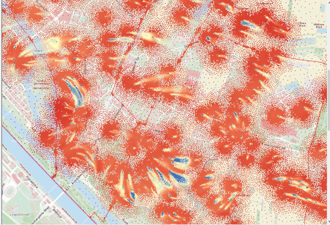
You see, this is no comparison to the first screenshot (FEFLOW-model)
My questions to you now:
1 Is there a way to further edit that raster above, to get full coverage (no gaps) with some kind of nearest-neighbor operation?
2 Is there another way of working with that data in ArcGIS, to create a raster as good as the simulation-result in FEFLOW?
3 What would you do (Feflow allows exporting in .xlsx, .accdb, .dbf, .dxf, .mdb, .pnt, .trp .dat and .shp) but none of those would give me a better feeling...



