Hey all,
I am working with a piece of property that has many lease/forest/dirt roads on it which are not mapped.
Is there a way to automatically digitize/delineate all these roads?
I can work with either Desktop 10.4 or Pro, and I have access to a 1-m resolution DEM and the property lines (see the hill-shade below)
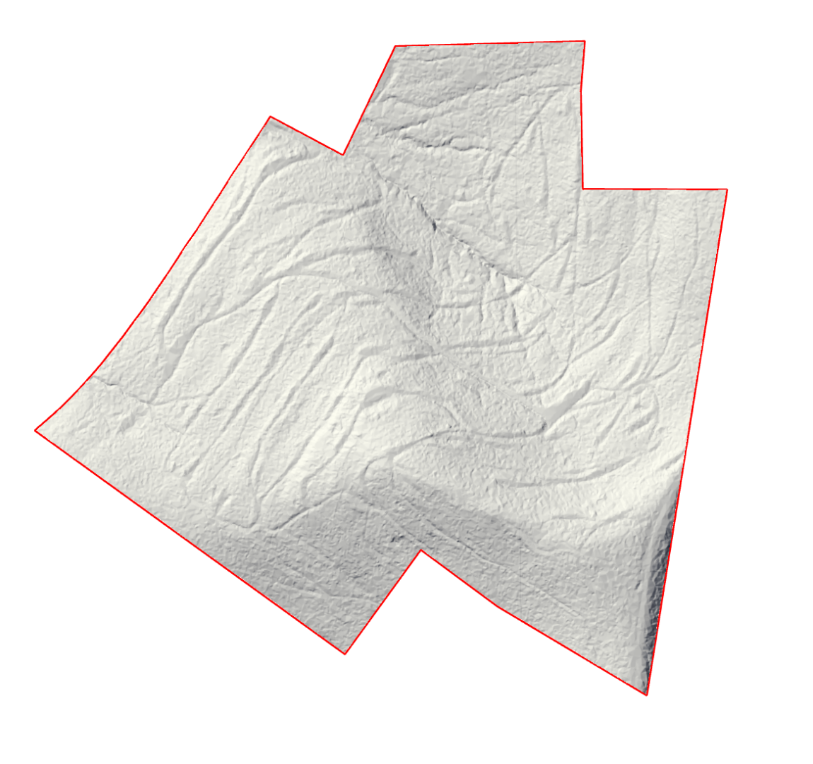
How can I do this, without manually drawing all those roads?
I have tried working with the slope, but I have no idea where to go from there
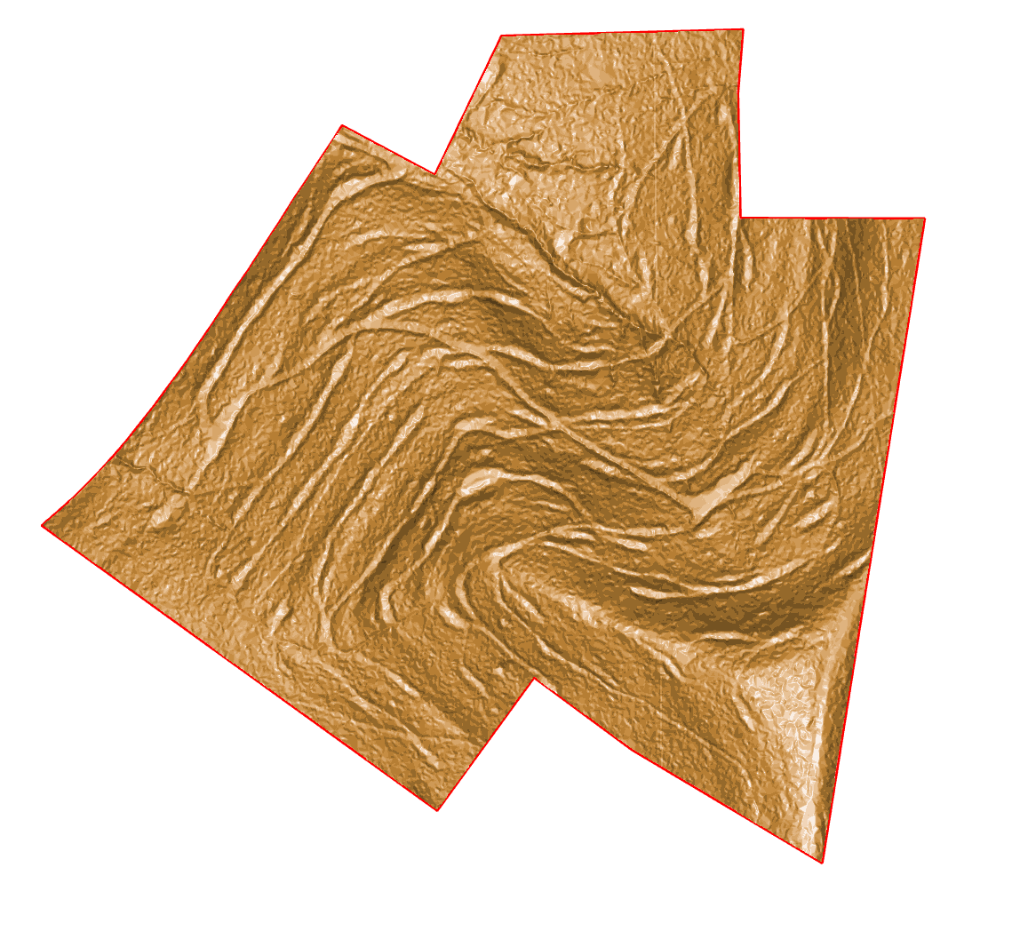
Also tried to reclass the raster based on slope, but it picks up the southern hill top as a road (since it has a low slope)
Any help will be much appreciated.
Thank you,
Ovidiu

