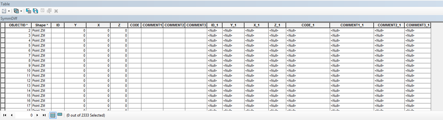
Is there a geoprocessing tool that literally appends one table (or columns) to the end of another? ESRI does something similar in their 'Symmetrical Difference' tool. See below for an example.
I know I could do this with a Python for loop and the 'Add Field' function, but that seems costly. I was hoping there was a geoprocessing tool that could do it for me.
Thanks for any help!