Hi I wonder if there is a way to do the following.
The scenario is creating and comparing new footpaths within a state reserve.
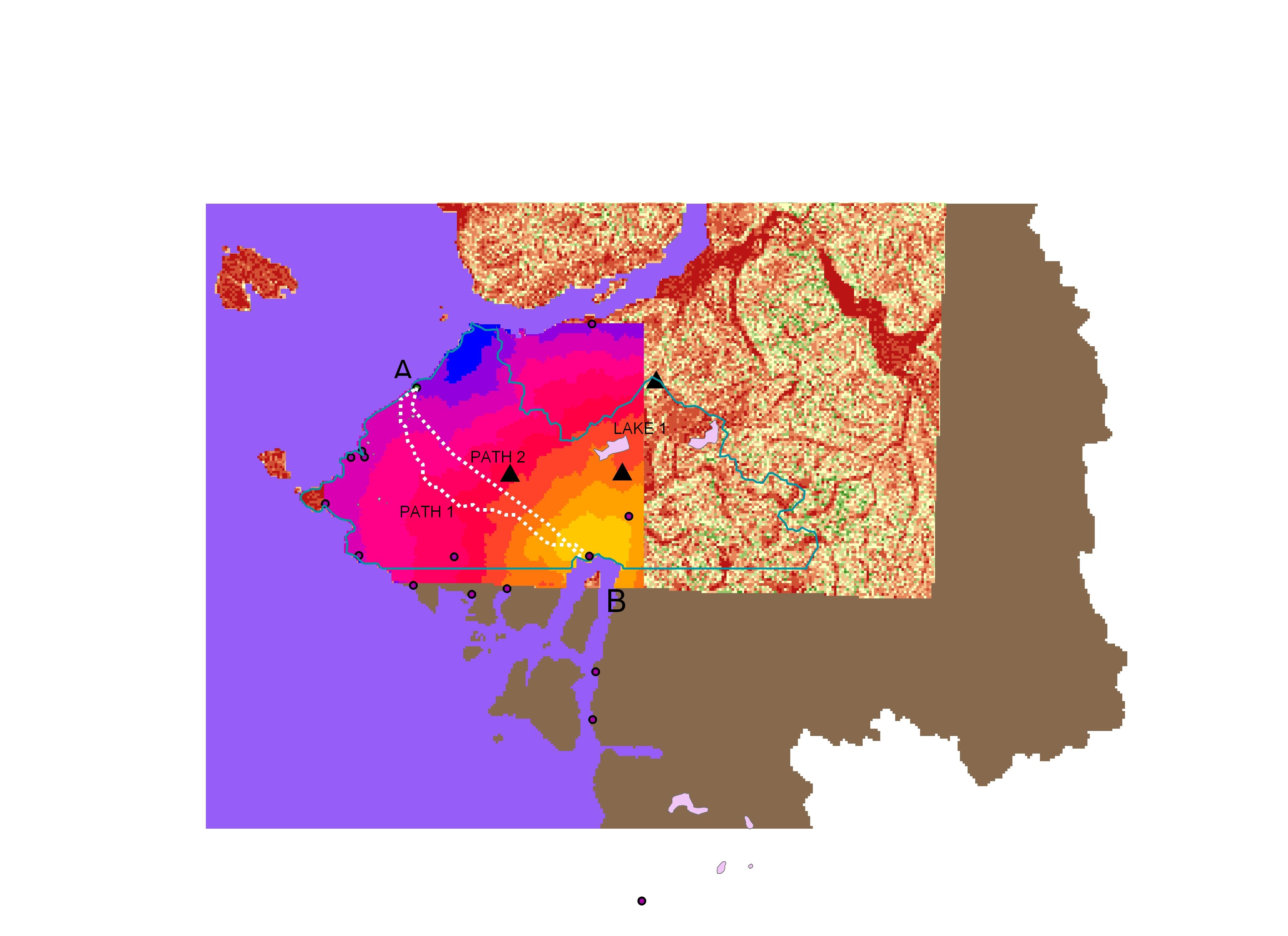
I need create a type of anaysis that would allow me to assess to choices of getting from A to B (in the picture). Path A should be the result if the only parameter taken into consideration would be the slope (effort). A path going from point A to Lake 1 and then to point B should be result if the attractiveness of the lake would be taken into consideration.
In the picture attached:
For path 1 I carried a cost distance analysis assessing the slope and using point B as the source (destination) of the analysis and setting point A as the origin.
For path 2 I created a multiple ring buffer and I weighted the output against the slope raster I used in path 1. Both rasters were reclassified before creating a new cost distance raster where the proximity to the lake have been matched with the smallest value of the slope. The result shown in the picture resembles the effect of a gravity model attracting path 1 closer to path 2.
What I need instead is reaching a breaking value where the output of the analysis would show a path connecting A-Lake 1-B as a preferable path compared to path 1, because of the attractiveness of the lake. Thank you