Hello everyone,
I have had a frustrating experience with the project tool lately and have not come across someone with a similar question/answer so I thought I'd ask it here.
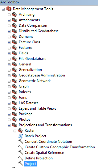
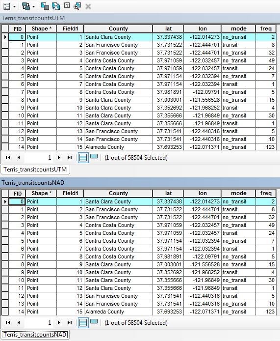
I have a data set in .csv format which I then projected the XY points into Arcmap v. 10.5. I made sure to export the data so I could work on it but I also needed to change the projection system. I knew that when I projected the XY it would need to be in the State Plane UTM Zone 10 format, so I had made sure to do that before completing and exporting the data at this point. However, this data set for other purposes needed to be re-projected from the State Plane UTM Zone 10 format to the NAD 1983 California III FIPS format. Using the project tool in Arctoolbox was my go-to solution, however, after the projection the coordinates and position of the XY points stay the same. I have tried starting a fresh and blank template up and that also showed the points in the same location as the UTM coordinates.
If anyone knows where I went wrong here please let me know. I have attached a few screenshots to illustrate the problem more thoroughly.
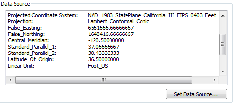
The UTM and NAD file
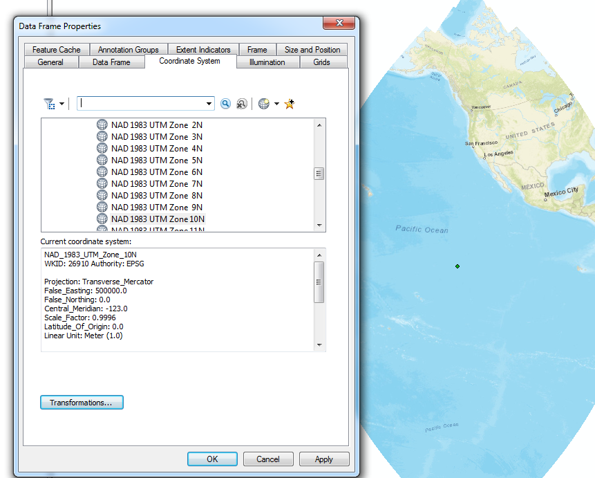
The UTM projection
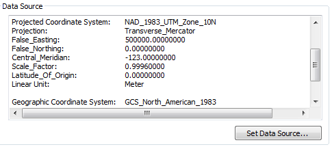
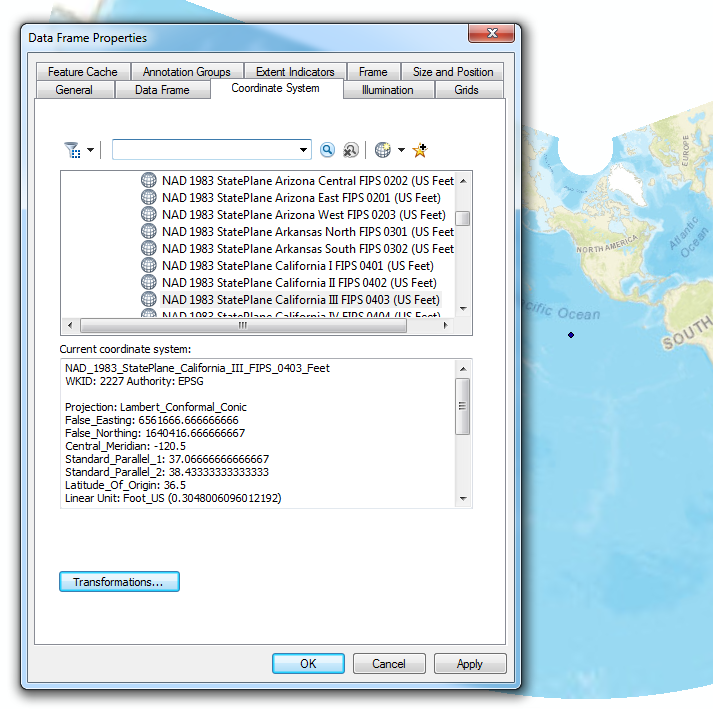
The NAD projection