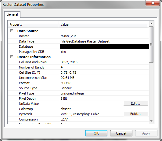
Why when is it that when I project a raster from Alaska state plane zone 4 feet to Web Mercator does the file size increase so dramatically? It starts at ~29MB before it is projected and then increases to ~257MB after projection.
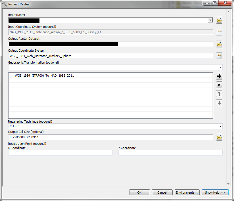
NAD_1983_2011_StatePlane_Alaska_4_FIPS_5004_US_Survey_Ft
WGS_1984_Web_Mercator_Auxiliary_Sphere
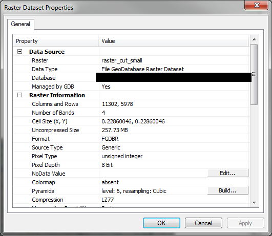
The only thing I can think of is that the distortion in web mercator at high latitudes is causing the raster to be "stretched" in some way and then leading to an increase in file size.
Thanks for any input.






