Can anyone help to explain how sometimes I receive the appropriate symbology for flow direction (using a filled DEM, D8 flow type), with an output showing the typical directional coding (1, 2, 8, 16, 32, 64, 128)
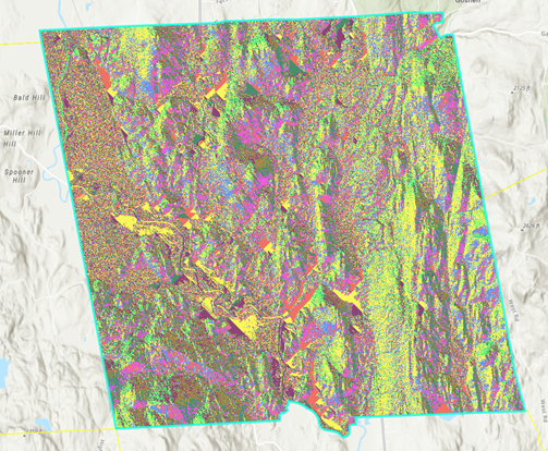
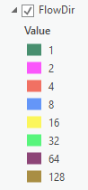
But other times, i will get an output more like a hillshade:
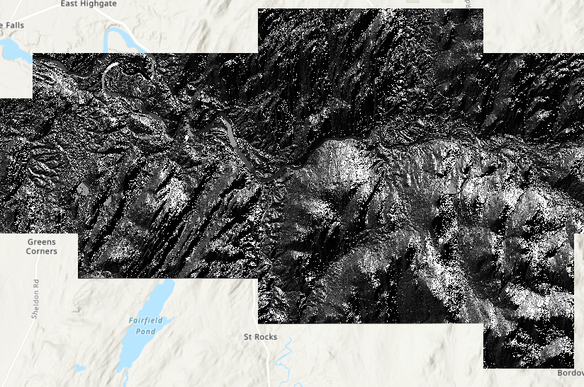
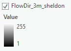
(examples are from different towns)
This second, incorrect display and corresponding legend doesn't reflect the elevation, so I'm curious why I am getting this output and if there is a way to ensure that I only get the directional coding instead. Is it just as simple as going in and changing the symbology?
Any help would be appreciated. I am using ArcGIS Pro 2.4 and have the spatial analyst extension enabled.

