I've just downloaded some DEM rasters off of the USGS National Map for a location in Northern California(near Willows). The rasters are derived from LiDAR collected and processed by Quantum Spatial. In addition to the raster DEMs I downloaded the deliverable report from Quantum Spatial which includes a shapefile of the LiDAR tile grid (1km x 1 km squares. When I load these data into ArcMap 10.6.1 the data do not align. Both data sets are in the same projection (NAD_1983_2011_Contiguous_USA_Albers) using the same datum (D_NAD_1983_2011). Specifically the raster files are offset just over 300 m west, and just over 100 m (104) north of the corresponding grid in the shapefile. The green lines in the image below are the foot print for each raster and the gray lines represent the Quantum Spatial grid.
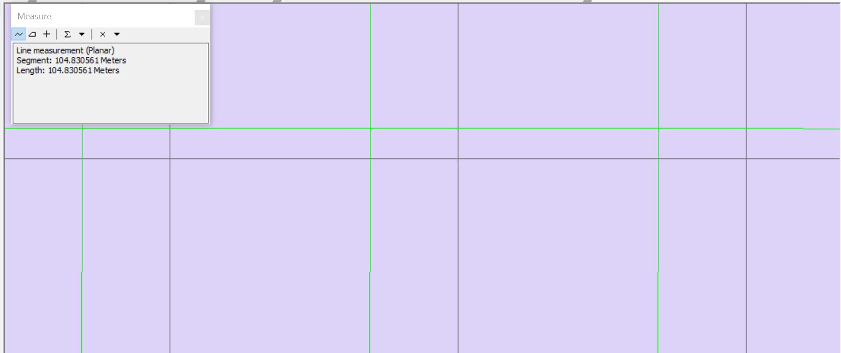
It looks like the datum for the raster files is off, but I'm not sure how to correct it. A colleague suggested using a different transformation in the dataframe, but I've tried all of them with no luck.
Any guidance?
Cheers!
-Adam


