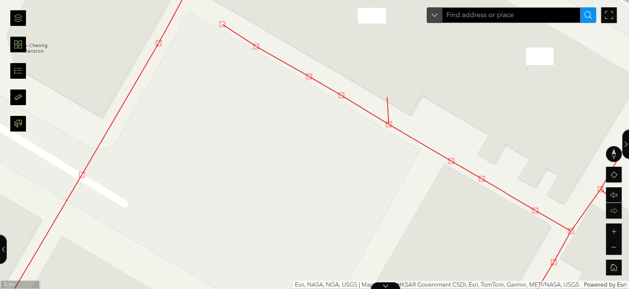
I have a pipe feature class and a manhole feature class, the pipes and manholes are interconnected. I added both to a map. But users reported that they are difficult to identify the manholes from the pipes. Are there any ways to outline mask or isolate the manholes from the pipes on the map viewer?