I have 3 rasters (rather coarse) representing subsurface geology. They're very basic and the cell values contain a value in meters. They do not have attribute tables. I created a mosaic dataset and added my rasters as raster Type: Raster Dataset. Now I'd like to use the "Build Multidimentional Info" tool to convert them into a multidimentional raster mosaic, the aim here is to eventually create a voxel layer to bring into my web scene since those do not support custom elevation surfaces. My mosaic footprint's attribute table only contains the generic Raster, Name, MinPS, MaxPS, GroupName(Empty), ProductName(empty), Raster Type iD, UriHash, etc. fields. I've tried to calculate the ProductName to 'Height' to use as a variable, but that didn't work, and I have no idea what to put in there for Dimension. Any help would be surely appreciated!
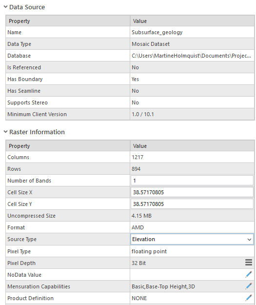
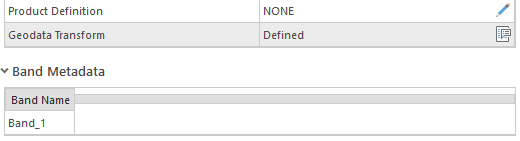
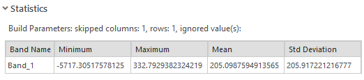
These are my Mosaic dataset properties: