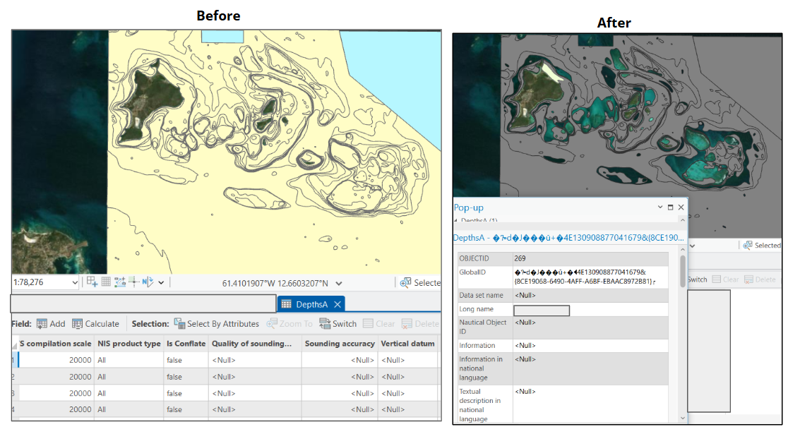
Hello, I'm having trouble with the setting up the maritime geodatabase for the creation of S-57. This is something that I noticed after updating to ArcGIS 3.4, and I didn't bump into this error before that.
I had a script that automatically sets the PLTS_COMP_SCALE to a user-defined value for Nautical/DepthsA. This script uses the CalculateField to assign this value. However, after updating to ArcGIS 3.4, it appears that using CalculateField through the script corrupts the features, as exemplified in the following screenshot. It worked when I use CalculateField outside the script (separately as a geoprocessing tool). Why would DepthsA get corrupted when I use a script to change the field values?