Hello! I am trying to use a dashed line to symbolize bike lanes, with data for the bike lanes coming from a hosted feature layer. When the lines are drawn in Map Viewer, however, the dash patterns are very inconsistent:
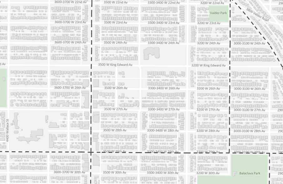
I expected the lines to be joined together, but instead they seem to be drawn per-segment. This can also lead to the dashes disappearing completely at different zoom levels (all lines in this image are symbolized identically):
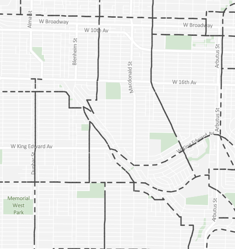
I've found that dissolving the lines into a single feature can solve this in Pro, but that's not a viable solution for the ArcGIS Online map - the data is coming directly from a hosted feature layer that is updated frequently.
Is this an issue anyone else has encountered? Any recommendations on getting the dashes to draw consistently/evenly?


