Hi,
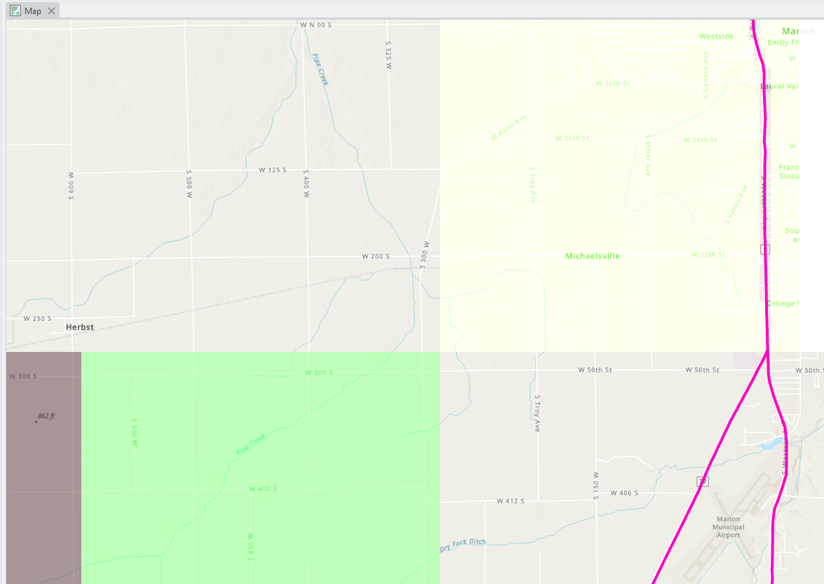
My ArcGIS Pro is acting weird lately, see the screenshot below. If I add a shapefile or geodatabase to the map (in the screenshot, the pink line is a shapefile added to the map), some transparent areas with color will pop up and block the basemap (in the screenshot, the beige, green, and grey areas are blocking the basemap). If I do not display the layer, the basemap will be fine and the transparent areas will be gone. Any ideas what happened and how to resolve this?
Thanks in advance for any insights!



