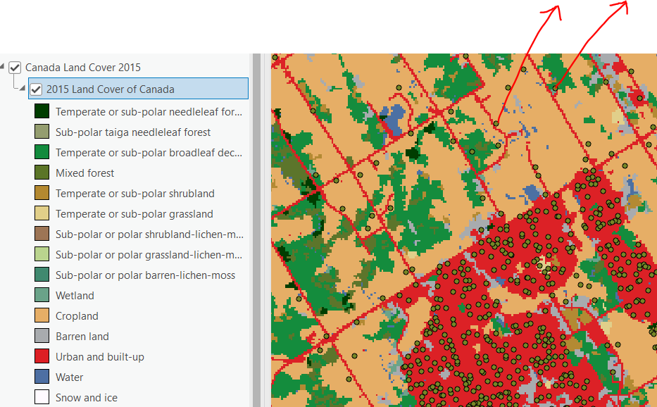
I opened Canada Land cover 2015 map from Living Atlas in ArcGIS Pro. How do I use this map? It does not allow me to do anything. Can this only be used to visualize? All I want is to overlay some points over it and assign the landuse class to the points over which they are falling, So if a point falls over Built up area, the point attribute table gets the value "Built up area" from the Canada Land cover 2015 map. Can anyone help?