Hi everyone,
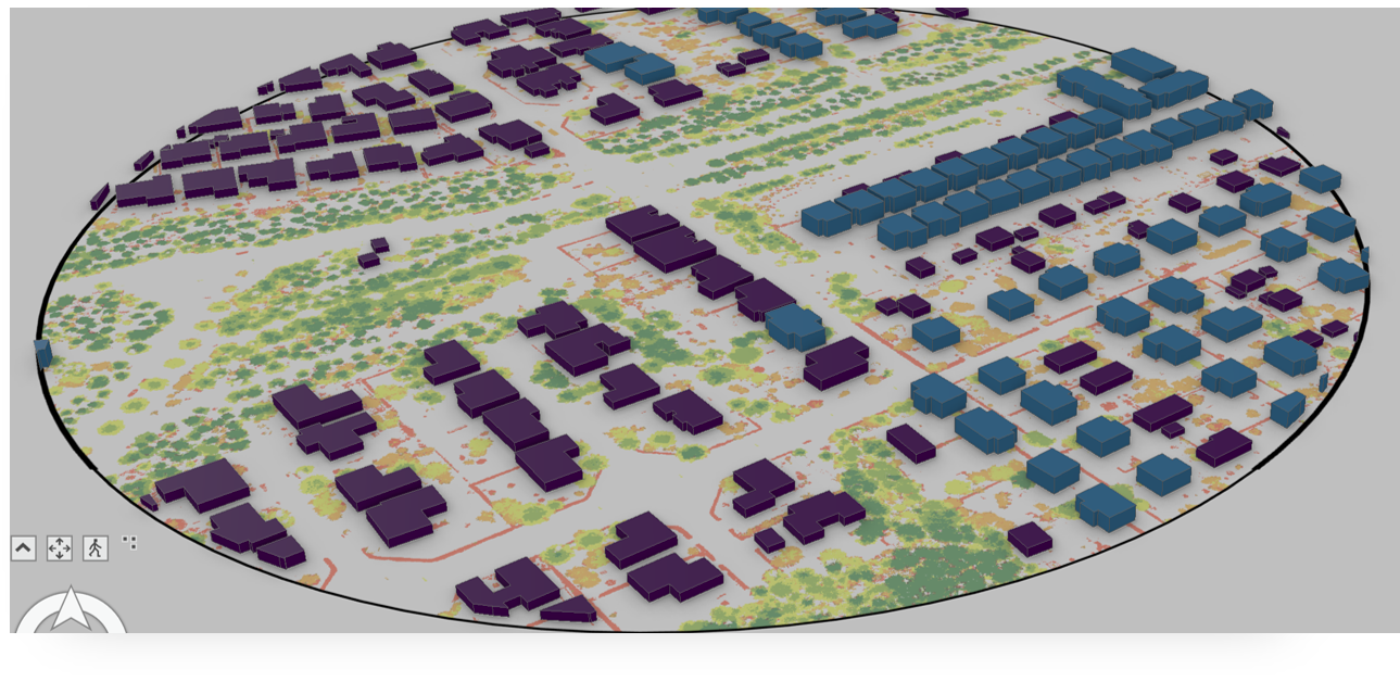
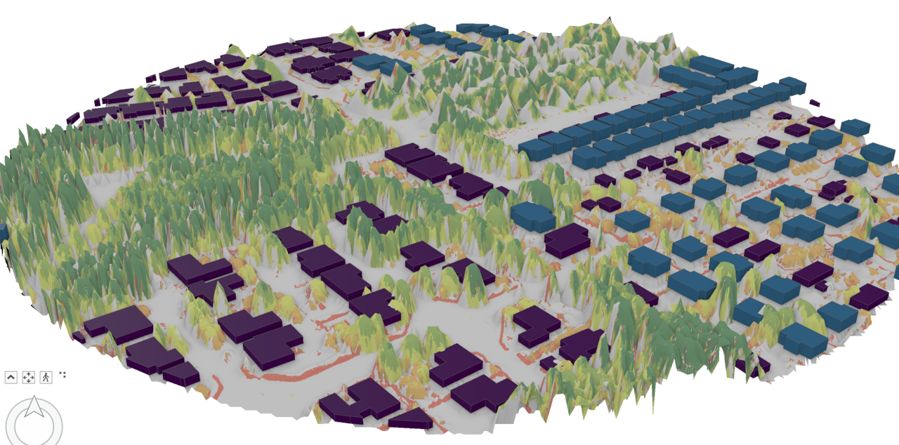
I have four datasets for my study sites: DEM, DSM, Canopy Height Model and building shapefile with height information. I want to visualise everything in 3D. I converted my map to local scene and followed this tutorial to make the 3D map of buildings (Picture 1), however I want to visualise the various vegetation types (from shrubs to canopy trees) as well in 3D using my CHM (classified into 5 based on heights). I tried using the CHM in elevation sources but the output map is not so great.
Can someone please help me understand this and help me visualise trees to shrub sin 3D just like regular buildings?
Thanks 🙂