Hi , I appreciate your valuable inputs in the below challenges
Challenge no.1: performing Change Detection CD Process utilizing two different time series satellite high resolution satellite imagery for large area (more than 150,000 Sq.Km ). Currently CD has been performing manually – where group of analysts visualize the two satellite imageries then digitize the changes – and I work to automate the CD process, my approach is to use Esri pre-trained deep learning models for object classes as Building, Road & developing new models for 9 more classes then run the 10 models on the two imageries to detect the objects then I identify the changes , I have two questions: -
- Is the above-mentioned approach, correct?
- Most of Esri pre-trained models’ precision ranges from 64% to 92% & I tried to enhance them by doing transfer learning methods, but always ending up with lower precision percentage, is it impossible to target more than 95% precision score?
- What is the best geospatial method to identify changes from the detected objects throughout the process?
- Is there any better approach to perform CD process automatically & in efficient way?
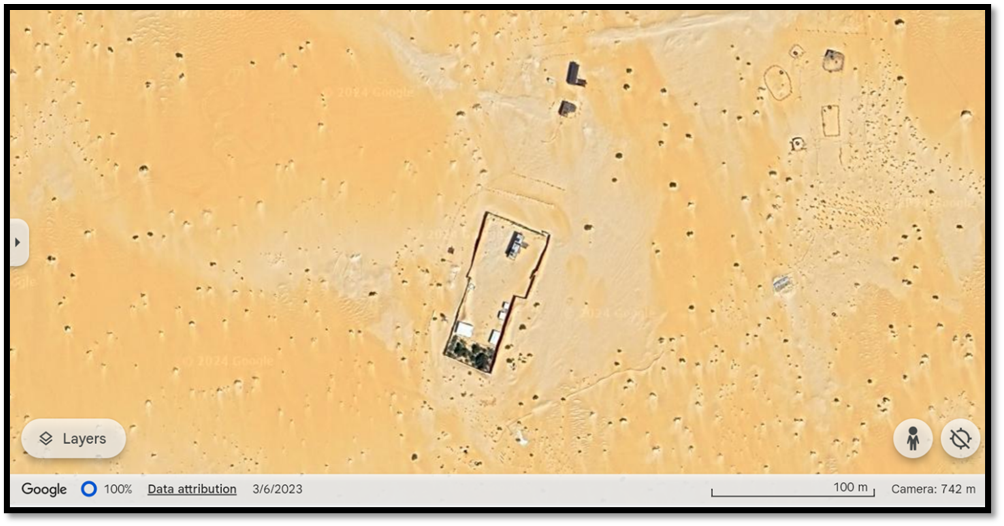
Challenge no.2: I am trying train a model that detects the below objects, is it possible to train one model able to detect the below objects efficiently?