Hello ESRI Community,
I hope you are doing well. One of ArcGIS Urban’s strengths is its ability to provide metrics for building custom KPIs that help determine the quality of a plan.
I am exploring another approach to study and assess the current situation, which will shape my planning process and help identify the analyses or challenges I need to address.
My questions are as follows:
- How can I start with existing data in ArcGIS Urban? Specifically, how do I upload data into the existing situation and make the metrics appear over it?
- When creating a zone plan, it begins with the existing situation in 2D (as per my understanding). How can I configure the upload of data into urban spaces where KPIs will be calculated?
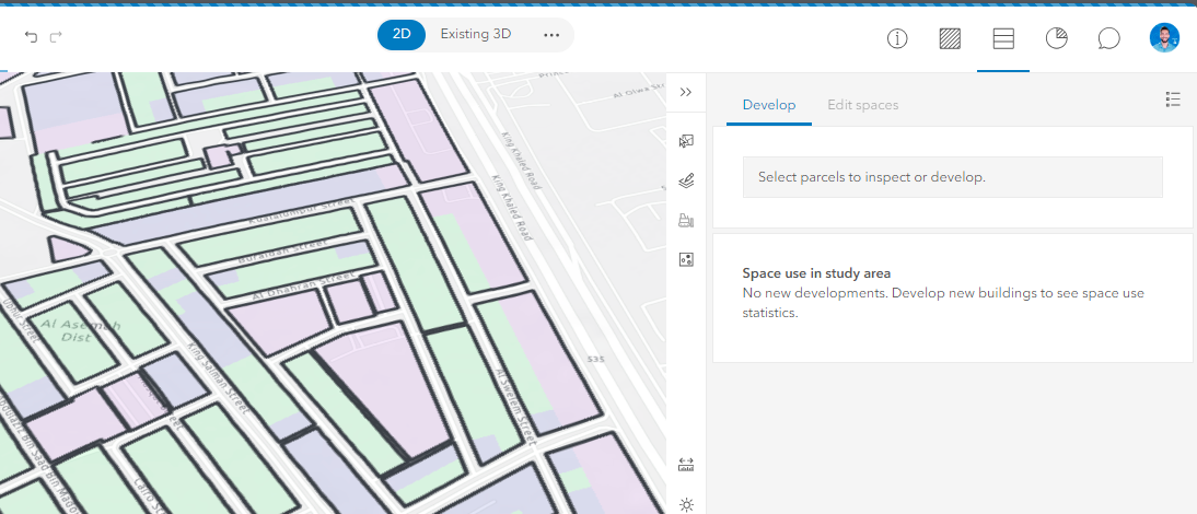
I hope my questions are clear. Thank you for your assistance!
Ahmed

