I have a locator built on a blend of county/city centerline/address point data for PSAP usage in validating locations. Obviously, a county will have many intersections with a combination of STATE ROUTE ##/STATE ROUTE ##, US ROUTE ##/STATE ROUTE ##, CR ##/STATE ROUTE ##, and so on. ArcGIS locators handle this pretty well, with the exception of the amount of text you have to enter to get a useable suggestion list.
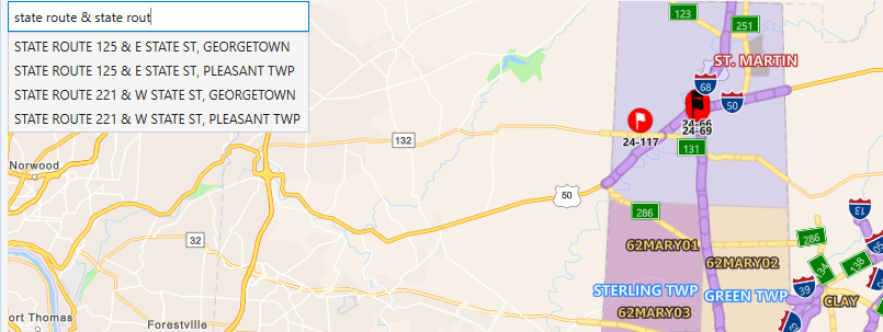
If for instance I only type in STATE ROUTE & STATE ROUT, the locator seemingly ignores the "ROUT" at the end and only recommends STATE ROUTE & STATE intersections. If I complete the word ROUTE...
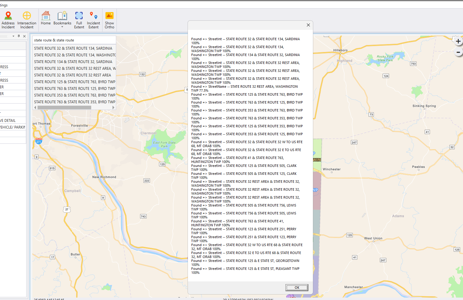
I get many more suggestions and even beyond what I'm showing in the dropdown box.
If getting results by just typing STA & STA is something that would simply be too performance-intensive for a locator, is there another way to encompass this functionality? Can I potentially write all intersections from a locator out to a feature layer/table and do custom querying that way? Is a locator something that can be iterated to get all of the PointAddress, StreetInt, or whatever else it may have in it?



