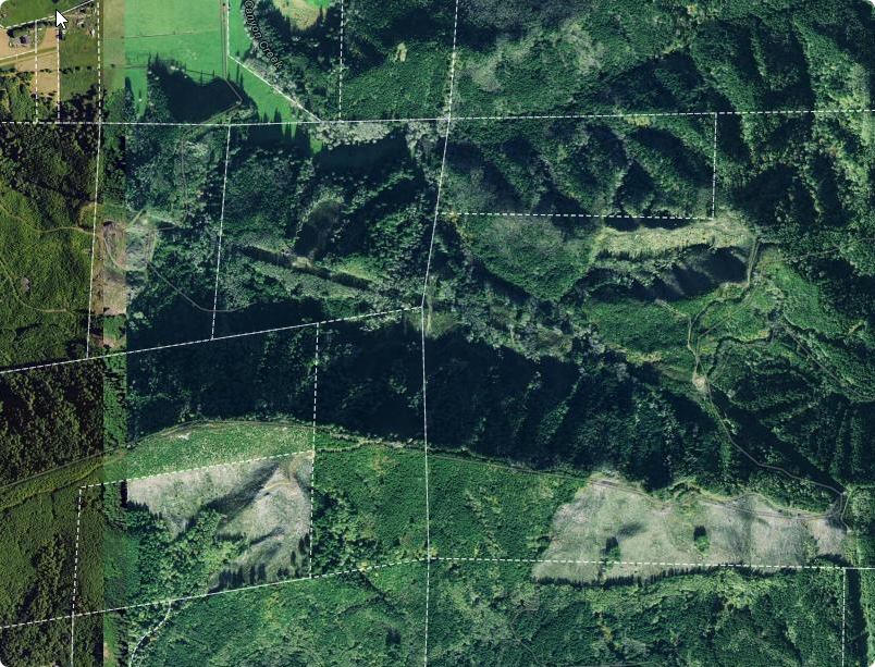
I am concerned regarding the use of aerial imagery underneath our county parcel fabric data. While I have noticed that many counties do not display their Parcel Fabrics with underlying aerial imagery, our local practice has been to include it. This method is well-received by our community; however, I worry it might convey a misleading level of precision and accuracy.
We already have a GIS disclaimer in place, but I am considering whether adding a tile layer that displays a "parcel geometry is for general reference only" message at closer zoom levels would be beneficial or just excessive.
What are your thoughts on the best approach to balance tradition and clarity?