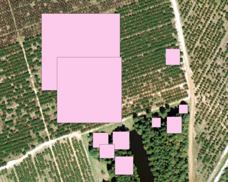
I am trying to get ArcGISpro to give me a rough estimate of the percentage of deadspots in an orchard like the one in this image. I am using imagery from USDA NAIP. I've tried using TreeDetection.dlpk as a model in Detect Objects Using Deep Learning to detect the trees in the orchard. My hope was that this would detect a number of trees - say 100 for example, and I could compare this to ground truth data that this orchard was planted with 200 trees, for example, and infer that 100 trees had died.  The deep learning results were not good (see image). Any ideas on what else I could try?