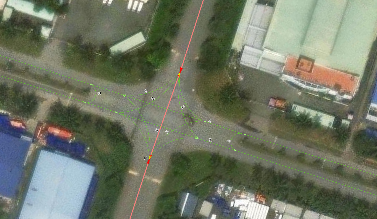
I am planning to expose a road network over the web for my colleagues to edit and was wondering if there are ways to create curve lines, perform line planarize or merge or splits? Just like what I would do in ArcGIS Pro....so far I have seen the edit tools only performs creation of basic straight lines...