Hello all,
Firstly, a disclaimer: I have no professional GIS training but enough practical experience for my workplace to consider me an adequate stand-in until we recruit some new staff! Hence this is likely a very dumb question.
We use the same PCS for all of our work, but in some of these projects it is 'skewed', please see the comparison below:
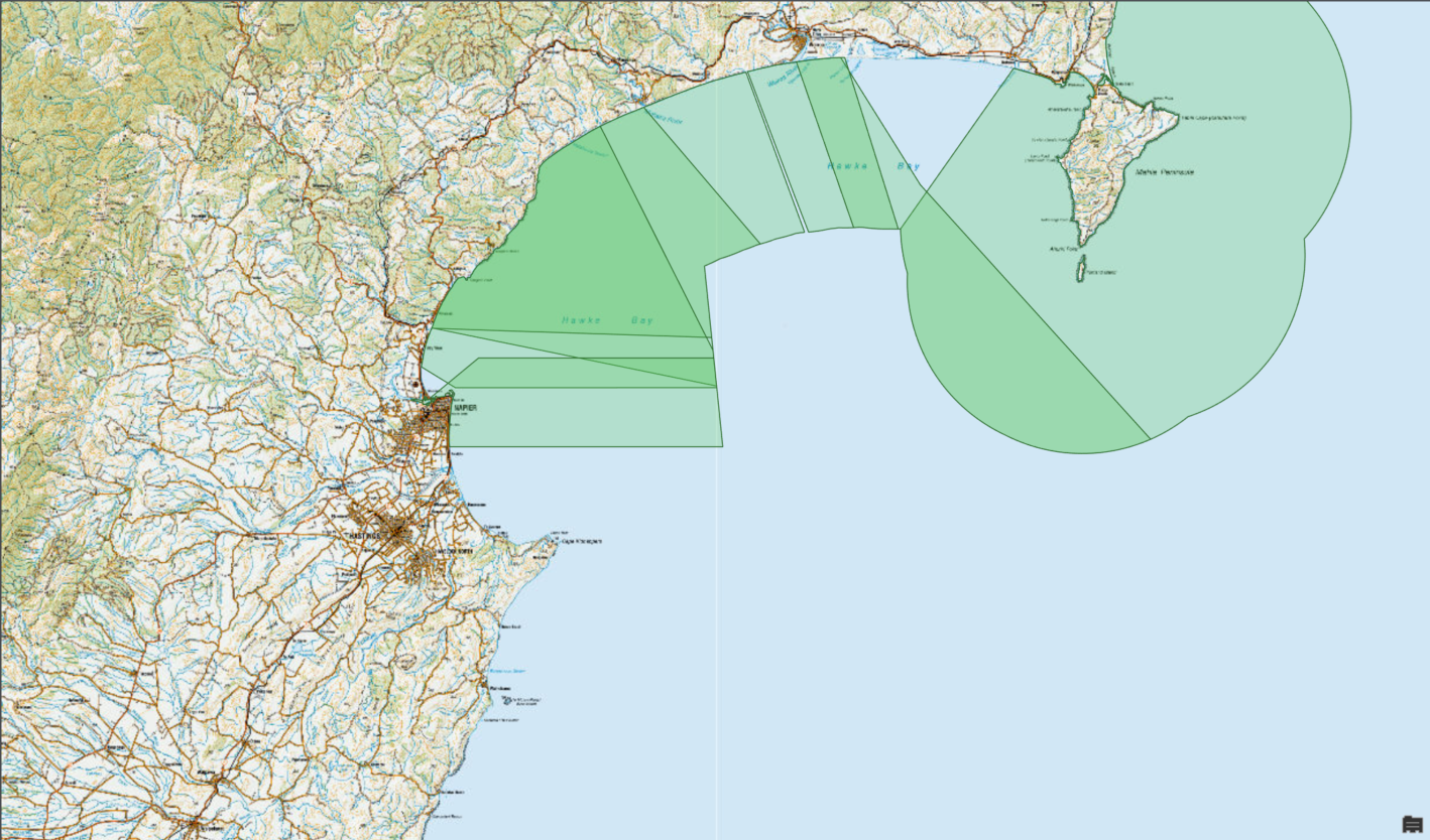
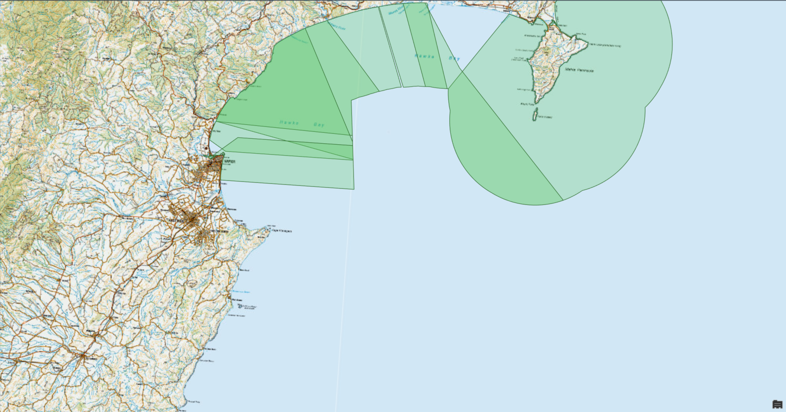
The second image is from the 'skewed' project. As you can see the basemap is oriented identically, yet the features are not. The coordinates themselves are the same, i.e. the coordinate at the south-eastern corner of the layer is identical in both projects.
The coordinate systems and transformations in each of the projects and layers are, as far as I can tell, identical. I have trawled the various settings and properties menus and cannot find any differences whatsoever between the projects.
This is driving me crazy - I would appreciate any help.
Richard

